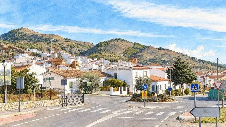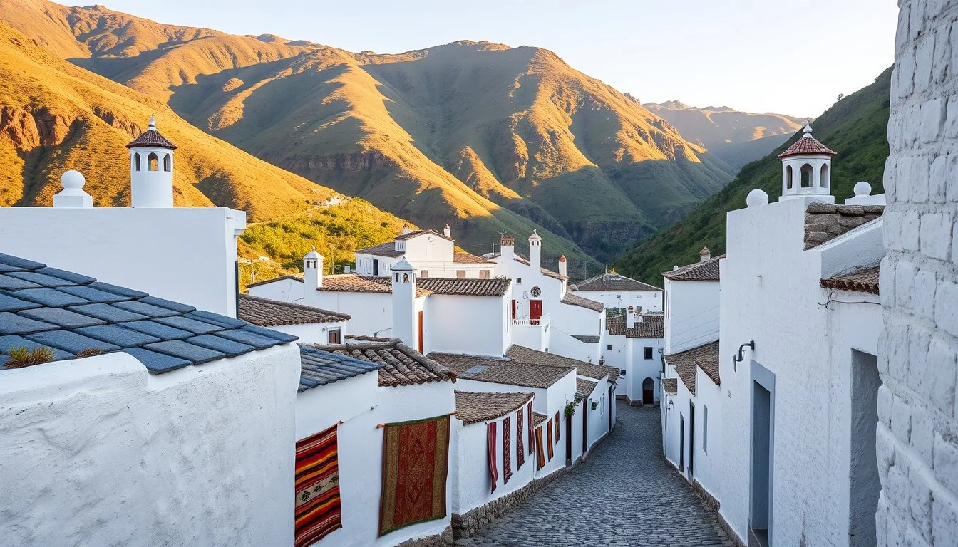
Was sind die offiziellen Preise, Busverbindungen, Parkregeln und das reale Budget für Pampaneira, Bubión & Capileira an 1 Tag im Jahr 2026? Wer Pampaneira, Bubión & Capileira an 1 Tag in Granada plant, spart vor Ort viel Zeit und Geld, wenn Anfahrt, Parkplätze und aktuelle Tarife vorab klar sind. Best order by car: explore vibrant Pampaneira first around 10:30 before tour groups arrive, drive 5 minutes up to peaceful Bubión at noon, and finish in high-altitude Capileira (1,436 m) for panoramic viewpoints and lunch. Smart downhill walk trick (by bus or foot): take the morning ALSA bus from Granada all the way to the highest village, Capileira (~€7.50 one-way), then walk effortlessly downhill along the cobbled PR-A 70 chestnut trail through Bubión down to Pampaneira in 1 hour 15 minutes.
Welche Zone passt am besten zu Ihrer Reiseplanung?
Wenn man jedoch von der Übersichtskarte in die Praxis vor Ort wechselt, lohnt sich ein genauer Blick auf die Unterschiede der einzelnen Abschnitte. Im Detail bedeutet das für Ihre Auswahl:
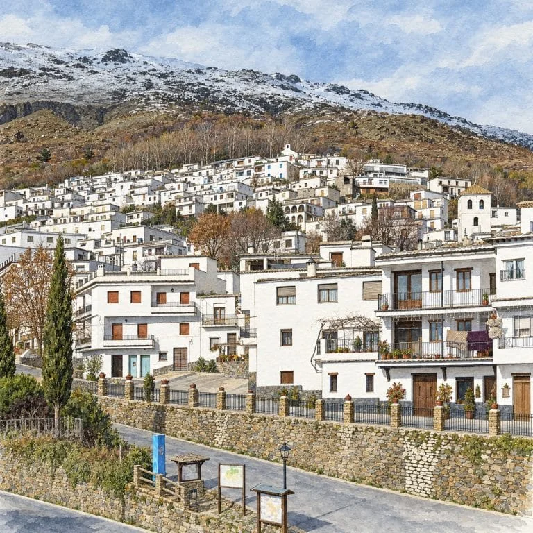
- 1. Pampaneira (1.058 m de altitud · Puerta del Barranco): Plaza de la Libertad, acequia central en el Paseo de Federico García Lorca, telares de jarapas, obrador de chocolate Abuela Ili y Fuente de San Antonio. (Parking municipal gratuito a la entrada del pueblo · Tiempo ideal: 1h 30m).
- 2. Bubión (1.296 m de altitud · El Balcón Tranquilo): Pueblo Cittaslow sin bullicio, arquitectura bereber intacta de terraos y tinaos, Iglesia mudéjar y Museo Casa Alpujarreña. (A 3 km por carretera desde Pampaneira o 35 min a pie por sendero · Tiempo ideal: 1h 00m).
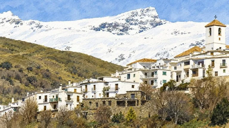
- 3. Capileira (1.436 m de altitud · El Techo del Barranco): Miradores del Tajo del Diablo y Perchel, Casa-Museo Pedro Antonio de Alarcón, restaurantes panorámicos de plato alpujarreño y salida a Sierra Nevada. (2 amplios parkings a la entrada; cabecera de los autobuses ALSA · Tiempo ideal: 2h 30m (incluyendo almuerzo)).
- Sendero Circular PR-A 70 (Los 3 Pueblos a Pie): Camino empedrado histórico que une Pampaneira, Bubión y Capileira entre castaños y eras. (8,5 km circular (3h 15m) o solo bajada Capileira → Pampaneira (4 km, 1h 15m) · 0,00 € (Sendero homologado libre)).
| Zone / Option | Ideal für & Besonderheiten | Anfahrt & Parken | Richtpreis (2026) |
|---|---|---|---|
| 1. Pampaneira (1.058 m de altitud · Puerta del Barranco) | Plaza de la Libertad, acequia central en el Paseo de Federico García Lorca, telares de jarapas, obrador de chocolate Abuela Ili y Fuente de San Antonio | Parking municipal gratuito a la entrada del pueblo | Tiempo ideal: 1h 30m |
| 2. Bubión (1.296 m de altitud · El Balcón Tranquilo) | Pueblo Cittaslow sin bullicio, arquitectura bereber intacta de terraos y tinaos, Iglesia mudéjar y Museo Casa Alpujarreña | A 3 km por carretera desde Pampaneira o 35 min a pie por sendero | Tiempo ideal: 1h 00m |
| 3. Capileira (1.436 m de altitud · El Techo del Barranco) | Miradores del Tajo del Diablo y Perchel, Casa-Museo Pedro Antonio de Alarcón, restaurantes panorámicos de plato alpujarreño y salida a Sierra Nevada | 2 amplios parkings a la entrada; cabecera de los autobuses ALSA | Tiempo ideal: 2h 30m (incluyendo almuerzo) |
| Sendero Circular PR-A 70 (Los 3 Pueblos a Pie) | Camino empedrado histórico que une Pampaneira, Bubión y Capileira entre castaños y eras | 8,5 km circular (3h 15m) o solo bajada Capileira → Pampaneira (4 km, 1h 15m) | 0,00 € (Sendero homologado libre) |
Wie kommt man mit Bus, Metro oder Mietwagen ohne ZBE-Bußgeld hin?
Tatsächlich sorgt die Anfahrts- und Parklogistik vorab oft für die meisten Fragen. Ob ab Granada-Zentrum oder von der Küste aus – hier sind die geprüften Verbindungen:
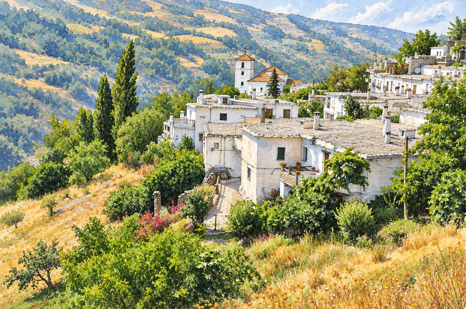
Best order by car: explore vibrant Pampaneira first around 10:30 before tour groups arrive, drive 5 minutes up to peaceful Bubión at noon, and finish in high-altitude Capileira (1,436 m) for panoramic viewpoints and lunch. Three unique Berber architectural features: flat slate-and-clay roofs (‘terraos’), white cylindrical chimneys capped with flat stones, and covered street passageways (‘tinaos’).
Zur weiteren Planung mit offiziellen Tarifen und Karten empfehlen wir unsere weiterführenden Granada-Guides:
Was kostet der Besuch wirklich? Ein konkretes Rechenbeispiel in Euro
Rechnen wir das Ganze in Euro anhand eines konkreten Beispiels für zwei Erwachsene durch, damit Sie Ihr Tagesbudget verlässlich planen können:
Rechnen wir das Ganze in Euro anhand eines konkreten Beispiels für zwei Erwachsene (2026) durch: Let’s run the numbers in euros with a real-life example: two adults driving from Granada (~€16.00 round-trip fuel + €0 free village parking), having morning coffee and pastries in Pampaneira (€6.50), buying artisan chocolate (€4.50) and enjoying a two-course lunch with Plato Alpujarreño and drinks overlooking the gorge in Capileira (€44.00 for two) spend €35.50 per person.
Welche typischen Fehler sollten Sie vermeiden?
Schließlich zeigt die Erfahrung vor Ort, dass die richtige Uhrzeit und ein kurzer Blick auf die Zufahrtsregeln entscheidend für einen entspannten Tag sind:
- Afternoon add-on: Soportújar is just 15 minutes away on the drive back toward Órgiva, or continue 35 minutes east to the jamón village of Trevélez.
- Smart downhill walk trick (by bus or foot): take the morning ALSA bus from Granada all the way to the highest village, Capileira (~€7.50 one-way), then walk effortlessly downhill along the cobbled PR-A 70 chestnut trail through Bubión down to Pampaneira in 1 hour 15 minutes.
- Three unique Berber architectural features: flat slate-and-clay roofs (‘terraos’), white cylindrical chimneys capped with flat stones, and covered street passageways (‘tinaos’).
Häufig gestellte Fragen vor dem Besuch
Was sind die offiziellen Preise, Busverbindungen, Parkregeln und das reale Budget für Pampaneira, Bubión & Capileira an 1 Tag im Jahr 2026?
Wer Pampaneira, Bubión & Capileira an 1 Tag in Granada plant, spart vor Ort viel Zeit und Geld, wenn Anfahrt, Parkplätze und aktuelle Tarife vorab klar sind. Best order by car: explore vibrant Pampaneira first around 10:30 before tour groups arrive, drive 5 minutes up to peaceful Bubión at noon, and finish in high-altitude Capileira (1,436 m) for panoramic viewpoints and lunch. Smart downhill walk trick (by bus or foot): take the morning ALSA bus from Granada all the way to the highest village, Capileira (~€7.50 one-way), then walk effortlessly downhill along the cobbled PR-A 70 chestnut trail through Bubión down to Pampaneira in 1 hour 15 minutes.
Was kostet der Besuch wirklich? Ein konkretes Rechenbeispiel in Euro
Rechnen wir das Ganze in Euro anhand eines konkreten Beispiels für zwei Erwachsene (2026) durch: Let’s run the numbers in euros with a real-life example: two adults driving from Granada (~€16.00 round-trip fuel + €0 free village parking), having morning coffee and pastries in Pampaneira (€6.50), buying artisan chocolate (€4.50) and enjoying a two-course lunch with Plato Alpujarreño and drinks overlooking the gorge in Capileira (€44.00 for two) spend €35.50 per person.
Geprüfte offizielle Quellen (2026): Parque Nacional y Natural de Sierra Nevada, Ayuntamiento de Capileira / Bubión / Pampaneira (Conjunto Histórico del Barranco de Poqueira) y ALSA (Línea Granada – Alpujarra, 2026).
Hiking Trail & Village Day-Trip Calculator (Time & Budget)
Calculate real hiking duration, transport cost from Granada city and local meal budget:
Offizielle Quellen zum Nachlesen
Diese Links führen zu Informationen und Hinweisen der mit dem Reiseziel verbundenen Einrichtungen. Quellen für konkrete Angaben stehen beim Artikeltext.
Öffentlicher Kommunalverband: Schutz der traditionellen Flachdach-Architektur (Terraos), Wanderwege und Kultur.
Landschaftsschutz in der Hohen Alpujarra: Wanderwege der Poqueira-Schlucht und historische Bewässerungssysteme.
Offizielle Förderung des ländlichen Tourismus: Schinkenroute Trévelez (g.g.A.), Handweberei und Bergdörfer.
Instandhaltung des Gebirgsstraßennetzes, Investitionsbeihilfen für Alpujarra-Gemeinden und Denkmalschutz.