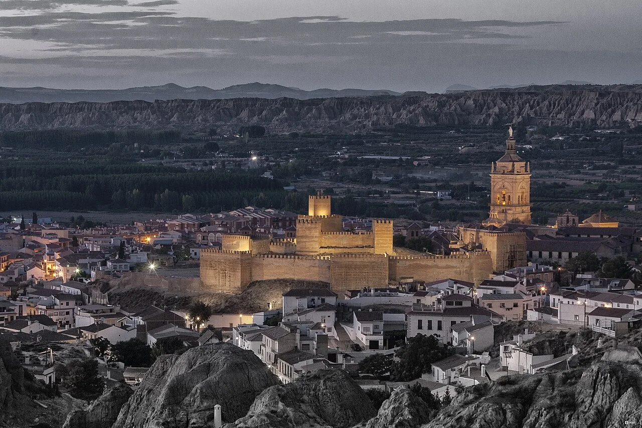
Pedro Martínez is a municipality of Granada next to the Mencal hill, with a visit that can combine the urban center and the landscape of the Geopark. The church of the Annunciation and the Morrón de la Meseta viewpoint are two documented references to prepare the trip. The walk through the town and the outing on the slopes require different planning.
| Plan | Reference checked | before you go |
|---|---|---|
| Urban walk. | Church of the Annunciation and its surroundings. | Consult opening of the temple and route according to mobility. |
| Mencal Landscape. | Municipal information and the Montes Orientales Consortium. | Choose a specific itinerary and check its status. |
| Geological viewpoint. | Morrón de la Meseta, in the Geopark brochure. | Check access by track and conditions for your vehicle. |
| Local food. | Dishes collected by the City Council. | Confirm establishment, schedule and menu of the day. |
Where is Pedro Martínez and what landscape you will find
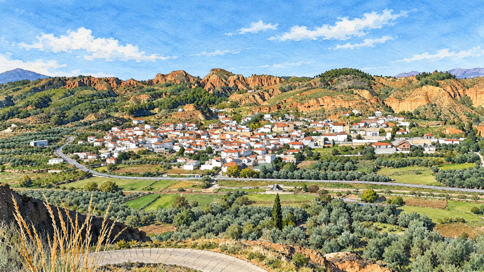
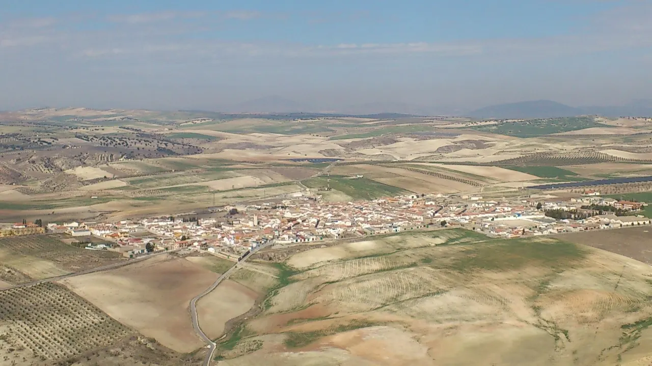
The Consorcio de los Montes Orientales places the town in the plain immediately after Mencal and describes this hill as a reference for the Los Montes region, next to the limit of the Hoya de Guadix. To orient yourself, use Pedro Martínez as a complete destination, with the province of Granada.
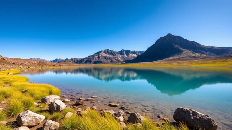
The landscape allows you to prepare an outing focused on the relief and geology. Start with the urban center and decide later if the conditions allow adding the viewpoint. If you are looking for a short walk, you can dedicate the visit to the town without necessarily turning it into a day of hiking.
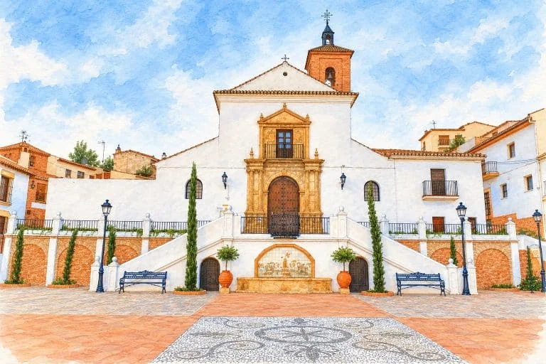
Church of the Annunciation: the current temple
The municipal route and landmarks file identifies the Church of the Annunciation in the Church Square. He explains that the current temple replaced the old church and was inaugurated on December 4, 1977.
The same source documents the relief of the Annunciation on the façade, placed in 1980, and the blessing of the tower in 1987. They are elements to observe during the walk; Check the opening beforehand if you want to visit the interior and respect the acts of worship.
If you need a route with fewer slopes or steps, ask about access to the temple and the route from the arrival point. Also check if organized tours are offered for your date.
El Mencal: prepare an outing with a defined route
The City Council includes a reference to the Mencal Route. Before leaving, request or consult your guide and distinguish between going around the hill, climbing to a summit or going to the viewpoint: they are different objectives and should not automatically share duration or difficulty.
Confirm starting point, route, distance, gradient, return and condition of the roads. Bring water, sun protection and appropriate footwear; adjusts the departure to the weather forecast and the group’s capabilities. Check any notices of closures, restrictions or damage before you leave.
If you are interested in the archaeological heritage mentioned in the descriptions of Mencal, first check which places are open to visits and under what conditions. It is not proposed to enter caves on your own or search for archaeological pieces.
Morrón de la Meseta Viewpoint
The official brochure of viewpoints of the Granada Geopark dedicates a section to Morrón de la Meseta, in Pedro Martínez. It describes the access via a forest track that leaves the municipality and is part of the geological route around the Mencal.
From the viewpoint, the brochure identifies the Mencal, the Jabalcón and La Sagra on the horizon, in addition to the plain and the gullies. He also points out the Bacaire Table as a witness hill: a relief that preserves part of the ancient surface while the surrounding terrain has eroded.
To reach the viewpoint itself, the document recommends a 4×4 vehicle. Confirm the status and access conditions with the City Council or the Geopark before entering the track, especially after rain. The description of the general circuit does not guarantee that all its branches are suitable for your car.
Consult the map in the brochure to locate the path and the branch to the viewpoint. If access is not suitable for your vehicle, dedicate the plan to the urban walk and organize the viewpoint for another occasion.
History of the town: what is documented
The municipal history presents as a possible origin of the town its relationship with Pedro Martínez Pretel and the Duke of Gor. The City Council points out that this origin is not completely clear.
The same page mentions parish documents preserved since 1651 and the constitution of the City Council in 1819. They are milestones of local history, without a founding date of the settlement established by the source.
What to eat and how to organize the stop
The municipal gastronomy page includes legume stews, ants, rags, breadcrumbs, porridge and tarvinas. You can ask about these preparations when choosing where to eat; The list describes a culinary tradition, not the menu available in each establishment.
Before traveling, confirm opening, possibility of booking, price and food needs with the chosen business. If you are going to spend part of the day outside the urban center, also prepare water and food for the tour; Don’t depend on finding a service next to the viewpoint.
How to Get to Pedro Martínez from Granada, Public Transport & Where to Stay
How to get there and what to check before the trip
Calculate the route to the urban center of Pedro Martínez from your origin and check incidents before leaving. For the viewpoint, prepare the access as a separate section. Follow local signs when parking and leave home entrances, steps and agricultural access roads clear.
If you depend on public transport, confirm operator, date, stop and return before organizing the visit.
The City Council publishes the address plaza de Santa Cruz, 3, 18530 Pedro Martínez, the telephone number 958 687 001 and the email pedromartinez@dipgra.es. Check access to Mencal and the viewpoint, the visit to the temple and local services before organizing the day.
Sources
- Consorcio de los Montes Orientales — location of Pedro Martínez and surroundings of Mencal: https://www.granada-montesorientales.org/index.php/municipios/10-municipios/24-pedro-martinez.html
- Pedro Martínez Town Hall — Church of the Annunciation, Ruta del Mencal and contact: https://www.pedromartinez.es/municipio/rutas-turisticas-e-hitos-de-interes/
- Granada Geopark — viewpoints: Morrón de la Meseta and access (PDF): https://www.geoparquedegranada.com/miradores-geoparque-espanol/
- Pedro Martínez Town Hall — local history: https://pedromartinez.es/municipio/historia-de-la-ciudad/
- Pedro Martínez City Council — gastronomy: https://www.pedromartinez.es/municipio/gastronomia/
Hiking Trail & Village Day-Trip Calculator (Time & Budget)
Calculate real hiking duration, transport cost from Granada city and local meal budget:
Guided Tours, Free Walking Tours & Tickets in Granada
Book official guided tours, monument tickets, and day trips in Granada with instant confirmation and free cancellation.
Hotels & Stays in Granada
Check live availability, location map, and stays with free cancellation in Granada.