This post is also available in:
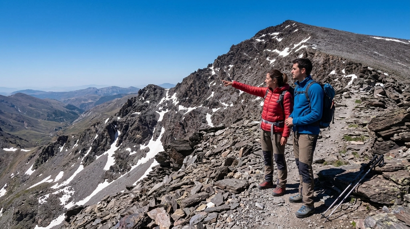
When summer arrives and the winter snows melt away, Sierra Nevada transforms into a breathtaking high-altitude playground. Standing atop Pico Veleta (3,398 m) or mainland Spain’s highest summit, Mulhacén (3,482 m), rewards hikers with views stretching across the Mediterranean to the mountains of Morocco. Here is the complete guide to climbing both peaks in summer 2026.
Advertisement
1. Climbing Pico Veleta (3,398 m): The Accessible Giant
Veleta is Spain’s fourth-highest peak, instantly recognizable by its sheer northern precipice. It is also one of Europe’s most accessible 3,000-meter summits:
- Trailhead: Hoya de la Mora (2,500 m).
- Distance & Elevation Gain: 13 km round-trip, +900 meters gain.
- Duration: 4.5 to 6 hours round-trip.
- Difficulty: Moderate (paved old road and stone paths, high altitude).
- Summer Lift Option: In July and August, Sierra Nevada ski resort operates the Borreguiles cable car and Veleta chairlift, bringing hikers to 3,050 meters and cutting the final summit hike to just 1.5 hours!
2. Summiting Mulhacén (3,482 m): The Roof of the Iberian Peninsula
There are two primary summer routes to reach Mulhacén:
- Southern Route via Capileira & SIAC Shuttle: The easiest route. The National Park operates the high-mountain shuttle bus (SIAC Sur) from Capileira up to Mirador de Trevélez (2,700 m). From there, an easy 4-hour hike leads along the gentle southern ridge to the summit.
- Northern Route via Hoya de la Mora & Refugio Poqueira: A magnificent 2-day alpine expedition crossing the Carihuela del Veleta pass, staying overnight at the staffed Refugio Poqueira (2,500 m), and summiting at sunrise.
Advertisement
Essential Mountain Safety & Gear
Even in July and August, high-mountain weather can change within minutes:
- Thermal layers & Windbreaker: Summit temperatures can drop near 0°C with severe wind chill.
- Sun Protection: Intense UV radiation requires SPF 50 sunscreen, polarized sunglasses, and a wide-brim hat.
- Water: Bring at least 2.5 to 3 liters of water per person (there are no drinkable springs on upper ridges).