Otívar allows you to combine a walk through the town and its viewpoints with an outing to the surroundings of Río Verde. First decide what you are looking for: visit the town center, walk a mountain trail or practice canyoning. They are different plans, with their own access, preparation and conditions.
What to see in Otívar
The municipal visitor guide identifies the church of San José, the Lavadero, the Vista Verde and Cantor viewpoints, the Balcón del Río Verde and the Andalucía Park. They are useful references for organizing an urban tour before choosing an excursion outside the town.
| Stop | What it offers | What to check |
|---|---|---|
| Church of San José. | Religious heritage and Mudejar armor. | Interior opening and acts of worship. |
| Vista Verde, Balcón del Río Verde and Andalucía Park. | Views of the valley and its agricultural landscape. | Arrival route and mobility conditions. |
| The Laundry. | Plaza with the old stone laundry. | Access through the streets of the town. |
| Singer’s Viewpoint. | Panoramic view of the valley and information panels. | Location and movement from the urban area. |
| Cázulas Palace. | Historic residence off the urban promenade. | Current use and manager authorization to enter. |
Church, laundry and viewpoints
The Town Hall dates the church of San José to the 16th century and highlights its Mudejar armor. If you want to see the inside, check the opening and respect religious celebrations.
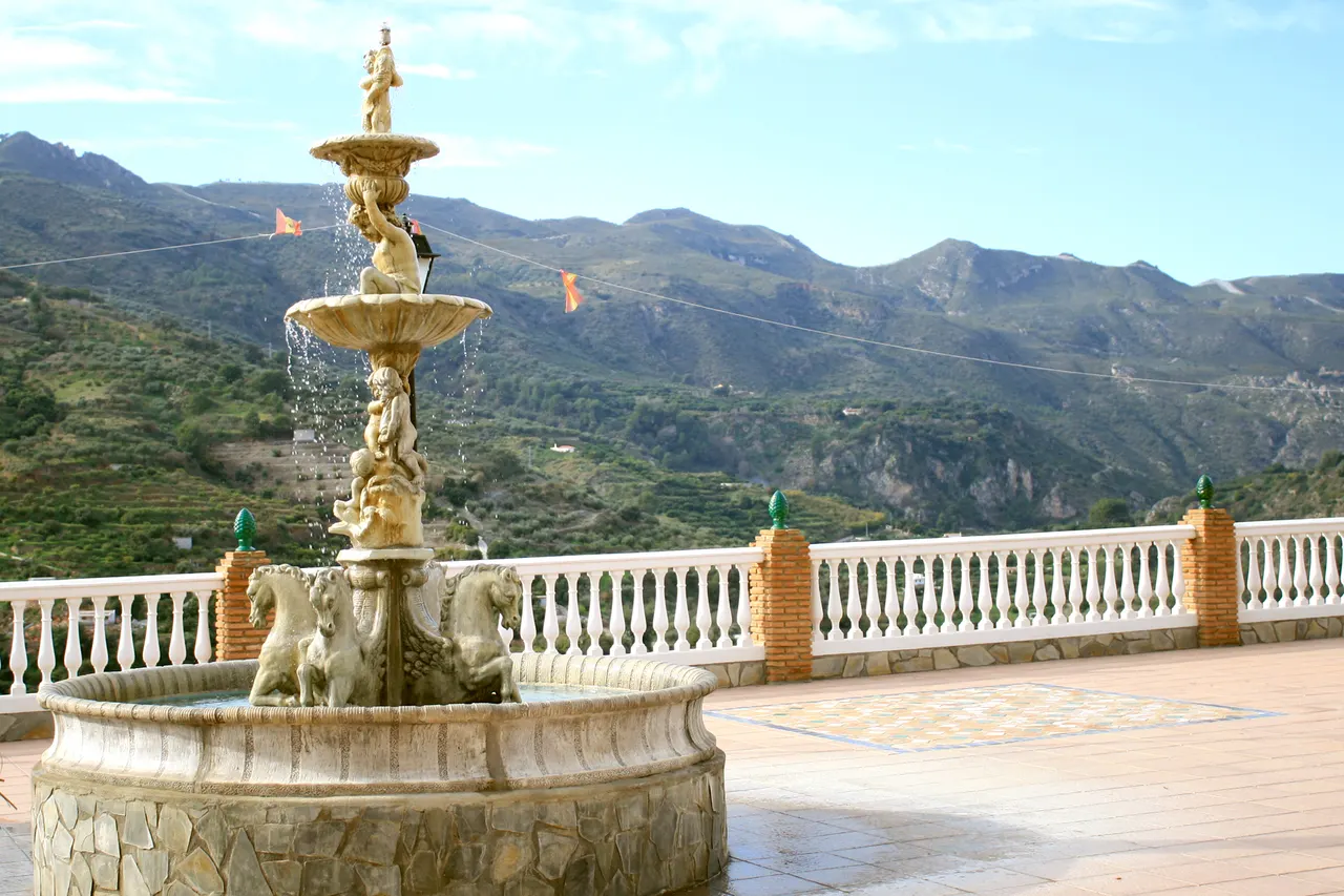
El Lavadero preserves the old stone laundry in a town square. Vista Verde, the Balcón del Río Verde and the Andalucía Park allow you to observe the valley and its agricultural landscape. The Mirador del Cantor offers a panoramic view of Otívar and Jete and slate panels, according to the municipal guide. Locate each stop and check slopes and parking when organizing your ride.
It begins with a walk through the town center, includes the church if it is open and ends at an observation point of the valley. If you travel with a stroller, wheelchair or walking limitations, check slopes, steps and alternatives before choosing the route.
Cázulas Palace: check its current use
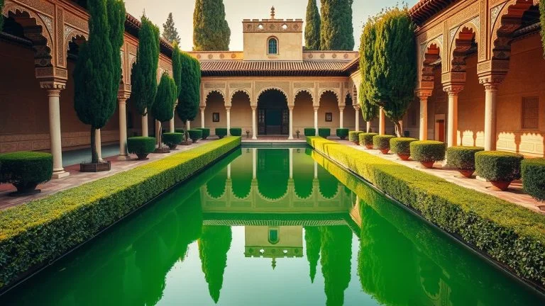
The municipal file presents the Cázulas Palace, also called Casa de la Marquesa, as a former residence and indicates its use as a rural house. Consult with the manager the conditions for visiting their spaces.
Before going to the palace, confirm with its manager whether it allows external visitors, what spaces can be seen and the entry conditions. Respect access and private property.
Río Verde and Junta de los Ríos
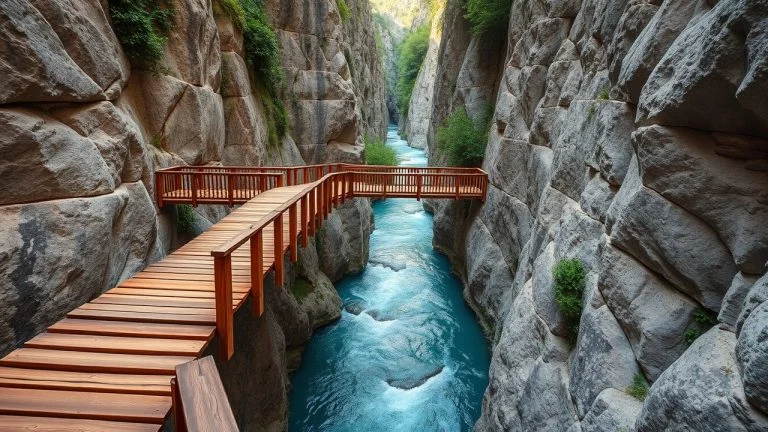
The municipal page of trails and nature brings together proposals towards Junta de los Ríos, Cázulas and Cerro Lopera. To choose the exit, distinguish the municipal route to Junta de los Ríos from the path that the Junta describes from the Collado de los Chortales.
The municipal route to Junta de los Ríos begins on the road to Granada, approximately five kilometers north of Otívar. It publishes 14 kilometers in total length, five hours and low difficulty, and describes the return along the same itinerary. The sheet indicates that there is no signage and that the final section goes from a forest track to a path. Take the route and confirm access before leaving.
| Published tour | Distance, time and difficulty | Home and return |
|---|---|---|
| Town Hall: Junta de los Ríos | 14 km total length; 5 hours; low difficulty according to the municipal file. | Road to Granada, about 5 km north of the town. The description plans to return along the same itinerary; confirms the starting point and access. |
| Junta de Andalucía: Petrified Trees Waterfall | 6,917 m one way; 3 hours; high difficulty; linear layout. | Collado de los Chortales, km 28.7 of the Granada-Almuñécar highway. Prepare for a return or separate pickup. |
Before leaving, specify the route and its starting point. Ask about the status of access, conditions for vehicles, possible private properties, reservations, payments and restrictions. Distinguishes administrative permits from the conditions of access to private properties.
Petrified Trees Trail: high difficulty
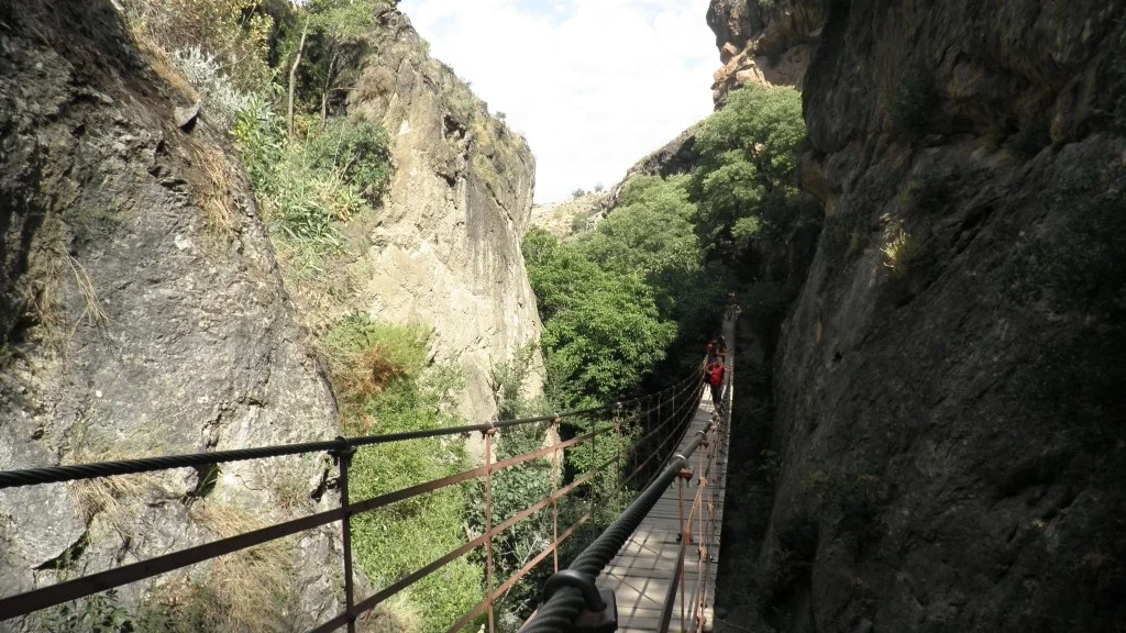
The file of the Andalusian Government of the Petrified Trees Waterfall, in Otívar, describes a path descending through the Sierra de Almijara. It indicates a linear layout, 6,917 meters one way, three hours and high difficulty, according to its technical sheet.
These data correspond to the outward journey: prepare the return or pick-up separately. The high difficulty and linear route require preparing a mountain outing; The three hours do not include a return to the town. The card places the start at Collado de los Chortales, next to kilometer 28.7 of the Granada-Almuñécar highway; Check location and permitted parking before traveling.
The official brochure of the Río Verde trail (PDF) includes a map and publishes 6.4 km one way, three hours and high difficulty. To prepare for the start, identify the route you will follow: the Waterfall brochure and information sheet publish different lengths. The brochure also notes special authorization; Check with the administration which permit corresponds to your route and activity.
The Board explains that the waterfall gets its name from ancient trunks mineralized by limestone water. Observe the landscape from the authorized route and check the conditions of the channel before planning an aquatic activity.
Canyoning: preparation and authorization
The same official file indicates that the descent of canyons must be carried out with specialized personnel and prior authorization from the Board to access the river. A hike and a canyoning activity require different planning.
When booking an outing, ask the organizer for the exact section, physical requirements, age allowed, material included, insurance, managed permits, transportation and cancellation policy. Also confirm what private access or payments are included in the price. A commercial reservation does not allow covering a permit that does not appear in the conditions.
Check the AEMET forecast for Otívar and the park notices before leaving. The municipal forecast corresponds to the nucleus of Otívar; Conditions may vary at mountain levels. Bring water, appropriate footwear and protection; Avoid improvising access to the channel. If conditions or permits are unclear, keep the city walk as an alternative. In an emergency, call 112; Do not assume mobile coverage throughout the journey.
Local products and food
The municipal gastronomy page includes choto with garlic, migas, fennel stew and grilled meats, as well as fruits such as cherimoya, loquat, avocado and mango. Ask about seasonal products and the menu available at the chosen establishment.
To buy fruit, go to a business or producer that offers sales. Collecting it on a farm requires express permission from the owner.
How to Get to Otívar from Granada, Public Transport & Where to Stay
Arrival and public transportation
Plan first your arrival in Otívar and then your transfer to the chosen resort. Getting to town does not mean arriving at the beginning of a trail or the meeting point for an activity.
The municipal website identifies connections with Granada and Almuñécar through ALSA and Fajardo. For the Lentejí–Otívar–Almuñécar line, Grupo Fajardo publishes these regular service departures. The times in the table are the departure times in each location, not the arrival times.
| Fajardo regular service | Departure from Otívar towards Almuñécar | Departure from Almuñécar towards Otívar |
|---|---|---|
| Monday to Friday | 7:50 and 16:25 | 2:00 p.m. and 8:00 p.m. |
| Saturdays | 7:50 | 14:00 |
The operator’s page indicates that the regular service does not run on Saturday afternoons, Sundays and holidays. Check the exceptions or special services for your date and confirm the stop, ticket, accessibility and return with Fajardo: 958 882 762 or trafico@grupofajardo.es. For the connection with Granada, confirm the current schedule with ALSA before organizing the day.
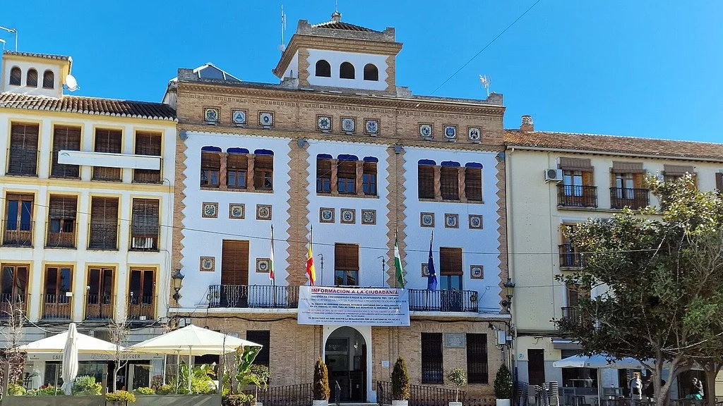
The Otívar City Council publishes the telephone numbers 958 645 001 and 958 645 161, and the address Avenida Alcalde Caridad, 26, 18698 Otívar. Their advertised opening hours are Monday to Friday, 9:00 a.m. to 3:00 p.m. Check the urban walk and local resources there; The authorizations of the natural space correspond to its administration.
Sources
- Otívar Town Hall — church, laundry, viewpoints and Cázulas: https://otivar.granasoft.es/turismo-y-cultura/que-visitar/
- Otívar Town Hall — trails and surroundings of Río Verde: https://otivar.granasoft.es/senderos-y-naturaleza/
- Junta de Andalucía — Petrified Trees Waterfall: route, access and canyoning: https://www.juntadeandalucia.es/medioambiente/portal/web/ventanadelvisitante/detalle-buscador-mapa/-/asset_publisher/Jlbxh2qB3NwR/content/cascada-de-los-%C3%A1rboles-petrificados/255035
- Otívar Town Hall — local dishes and products: https://otivar.granasoft.es/gastronomia-y-folkrore/
- Otívar Town Hall — published bus connections: https://otivar.granasoft.es/municipio/servicios/autobuses/
- Otívar City Council — contact and address: https://otivar.granasoft.es/contacto/
- AEMET — Otívar municipal prediction and warnings: https://www.aemet.es/es/eltiempo/prediccion/municipios/otivar-id18148
- Otívar Town Hall — route to Junta de los Ríos: length, return and signage: https://otivar.granasoft.es/ruta-1-junta-de-los-rios/
- Junta de Andalucía — Río Verde trail: map and technical sheet (PDF): https://www.juntadeandalucia.es/medioambiente/portal/documents/20151/c1e548d6-ac8e-6d06-6425-725662cf15fb
- Grupo Fajardo — Lentejí–Almuñécar line: regular schedules and contact: https://grupofajardo.es/horarios/lenteji-almunecar/
Hiking Trail & Village Day-Trip Calculator (Time & Budget)
Calculate real hiking duration, transport cost from Granada city and local meal budget:
Guided Tours, Free Walking Tours & Tickets in Granada
Book official guided tours, monument tickets, and day trips in Granada with instant confirmation and free cancellation.
Hotels & Stays in Granada
Check live availability, location map, and stays with free cancellation in Granada.