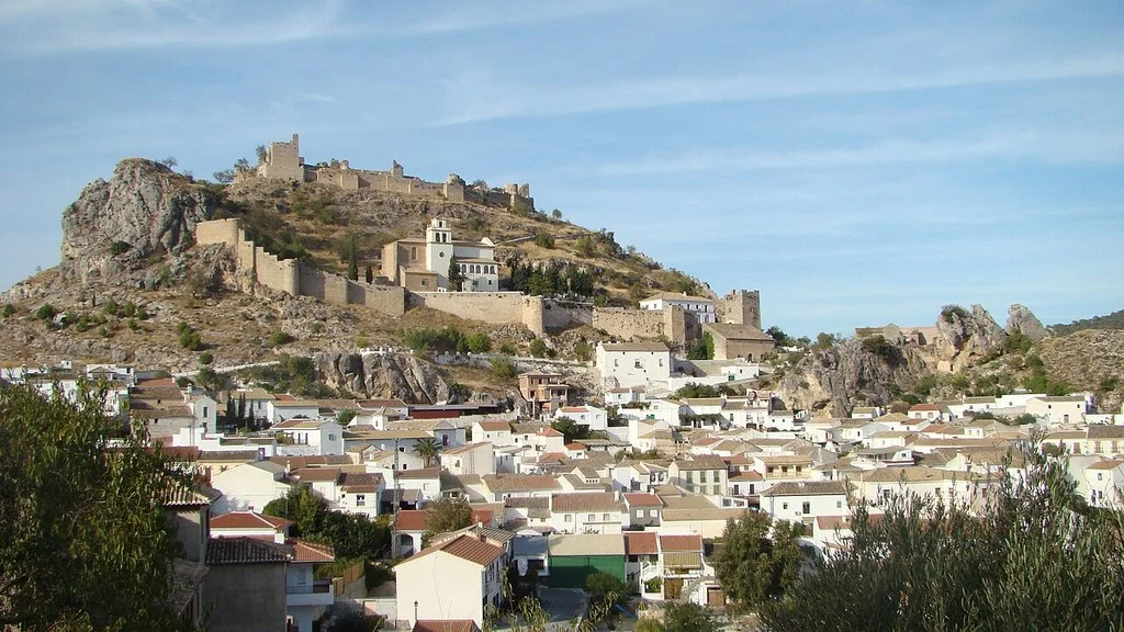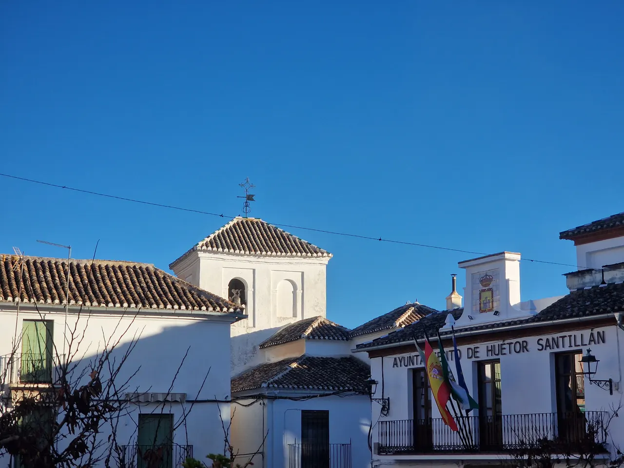
Huétor de Santillán offers two ways to prepare your visit: tour its historic center or choose a route through the Sierra de Huétor. The walk through the squares, the church of La Encarnación and the laundries can serve as a first contact. To get to know the surroundings of Darro or the trenches, select an itinerary and review its requirements before leaving.
What to see in the center of Huétor de Santillán
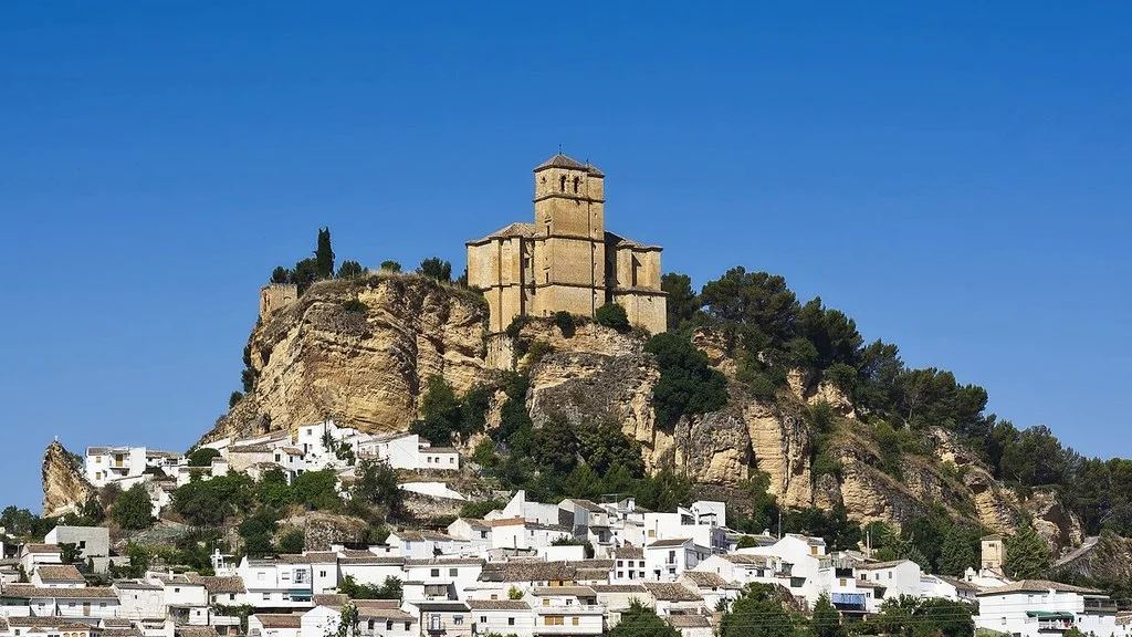
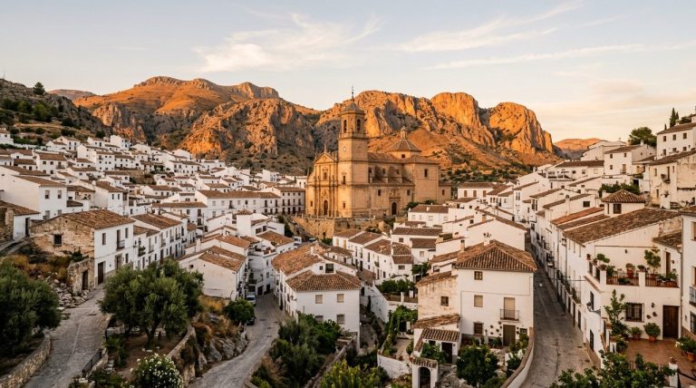
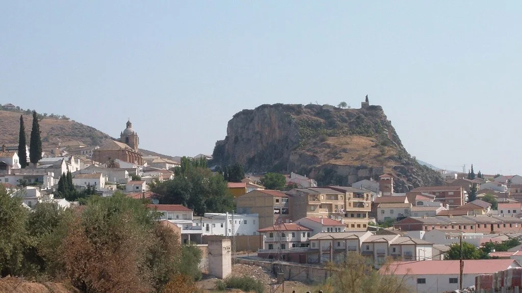
The municipal portal highlights the church of La Encarnación, the bridge over the Darro at the entrance to the historic center and the street layout of the old town. If you want to enter the temple, check its opening times and respect the cult.
The City Council publishes its address at Plaza Constitución, 1, 18183 Huétor Santillán. You can take it as a reference to place yourself in the center; Your contact channel includes the telephone number 958 546 013.
A walk through squares, alleys and washing places
The municipal route directory describes an urban route called Qaryat-Al-Watá. Its description begins in the Plaza de la Fortaleza, also known as Fuentecilla, and passes through the Hermitage of the Dolores, the Paseo de los Álamos and the Plaza de la Constitución.
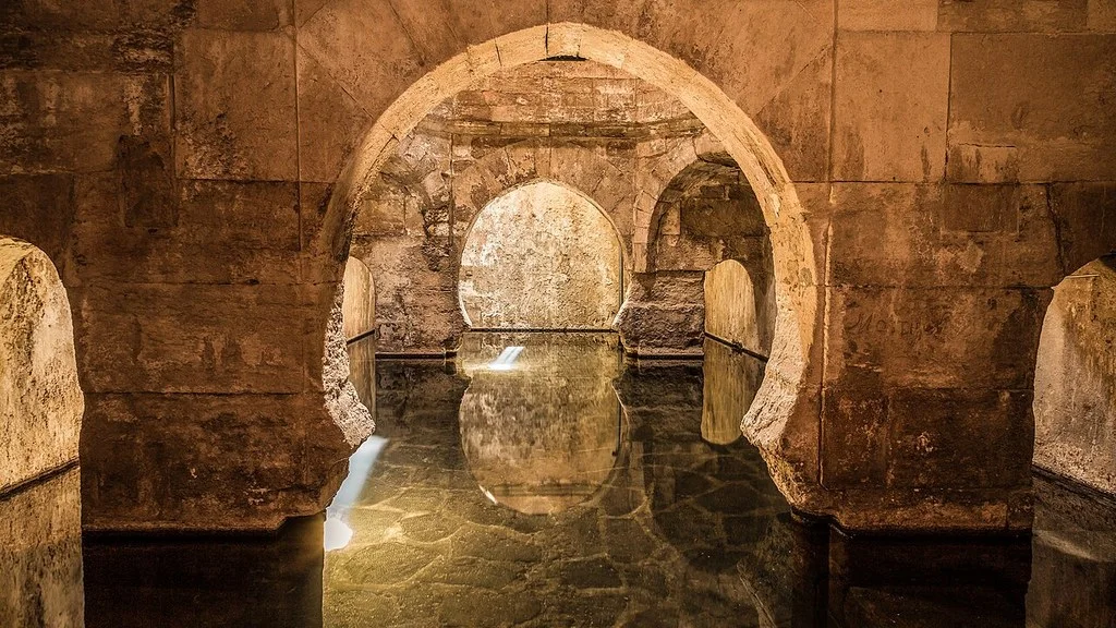
The tour continues through streets and corners such as Calle Ancha, Callejón del Reloj and Callejón del Beso, before reaching the church of La Encarnación and the laundries. The municipal file presents it as circular, 1.2 km and an approximate hour, with low difficulty. Follow the description of the urban walk and confirm any interior access that interests you; adapt the rhythm to your stops.
As an organization proposal, choose some of those points and go through them at your own pace. There are road crossings in the description: locate the enabled crossings. If you are traveling with children or people with reduced mobility, ask about slopes and pavement before choosing the complete route.
El Darro and the Fuente de la Teja
The documentation of sources and springs of the Junta includes the Fuente de la Teja in Huétor Santillán. The municipal directory also describes routes related to Darro, the Nacimiento area and the Las Veguillas viewpoint.
Select the itinerary and its departure point before moving: reaching the town is not equivalent to reaching the beginning of all the trails. Visible water may change with spring conditions; Prepare the visit for the route and the landscape, without depending on finding a waterfall or a specific flow.
Trenches: compare the difficulty of routes
The municipal catalog offers options of different requirements. Publish 12 km and medium difficulty for Trincheras Cerro del Muerto, and 7 km and high difficulty for Trincheras Calar Blanco. Both sheets describe circular routes and about four indicative hours. Cerro del Muerto begins at the forest house of Los Peñoncillos; Calar Blanco requires preparing another access and the climb to the rocky area. Check the layout and current conditions before choosing.
In Calar Blanco, the City Council describes an initial ascent without an established path, with about 300 m of unevenness and limestone soil with edges and fissures. Don’t choose it just because it has fewer kilometers: it requires experience in orientation and ease in that terrain. A shorter distance may require more effort due to unevenness and terrain. For a mountain outing, bring water, appropriate footwear and sun protection, calculate the return time and consult the notices from Sierra de Huétor Natural Park.
How to Get to Huétor de Santillán from Granada, Public Transport & Where to Stay
How to get there from Granada
The Transport Consortium identifies the line 300: Granada–El Fargue–Huétor Santillán–El Colmenar–Beas de Granada. Check the schedule, the stop that serves your destination and the last return available for your day.
By car, use the exact direction of the walk or the beginning of the route. Check access and parking, especially if you are going to a forest area. To eat or stay, check the services and hours of the chosen establishment in relation to your tour.
If you have little time, prioritize the urban walk. If the objective is hiking, prepare the route first and add a visit to the town when it fits with the return.
Sources
- Huétor Santillán City Council — Heritage and urban center: https://huetorsantillan.com/
- Huétor Santillán City Council — Contact and address: https://huetorsantillan.com/contactar/
- Huétor Santillán City Council — Urban routes and trench trails: https://huetorsantillan.com/rutas/
- Junta de Andalucía — Sources and springs of Sierra de Huétor: https://www.juntadeandalucia.es/medioambiente/portal/landing-page-publicacion/-/asset_publisher/FytOUWH22K7t/content/fichas-b-c3-a1sicas-reconocimiento-de-fuentes-y-manantiales-del-parque-natural-sierra-de-hu-c3-a9tor-y-su-entorno/20151
- Junta de Andalucía — Sierra de Huétor Natural Park: https://www.juntadeandalucia.es/medioambiente/portal/areas-tematicas/espacios-protegidos/legislacion-autonomica-nacional/parques-naturales/parque-natural-sierra-de-huetor
- Granada Transport Consortium — Line 300 and schedule consultation: https://ctagr.es/horarios-2/horarios-reducidos
Hiking Trail & Village Day-Trip Calculator (Time & Budget)
Calculate real hiking duration, transport cost from Granada city and local meal budget:
Guided Tours, Free Walking Tours & Tickets in Granada
Book official guided tours, monument tickets, and day trips in Granada with instant confirmation and free cancellation.
Hotels & Stays in Granada
Check live availability, location map, and stays with free cancellation in Granada.