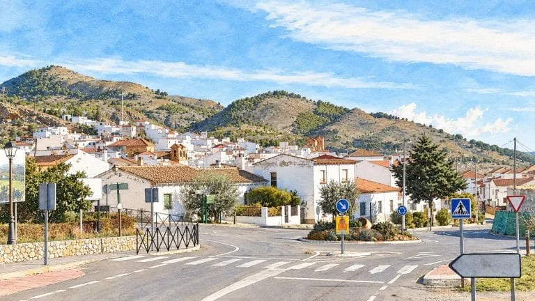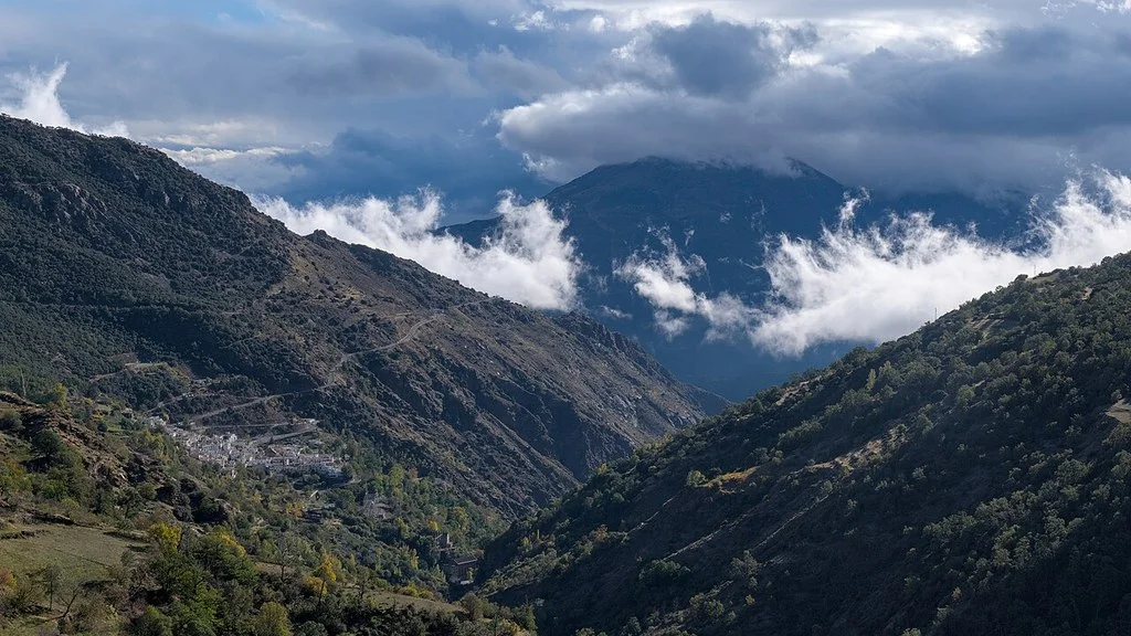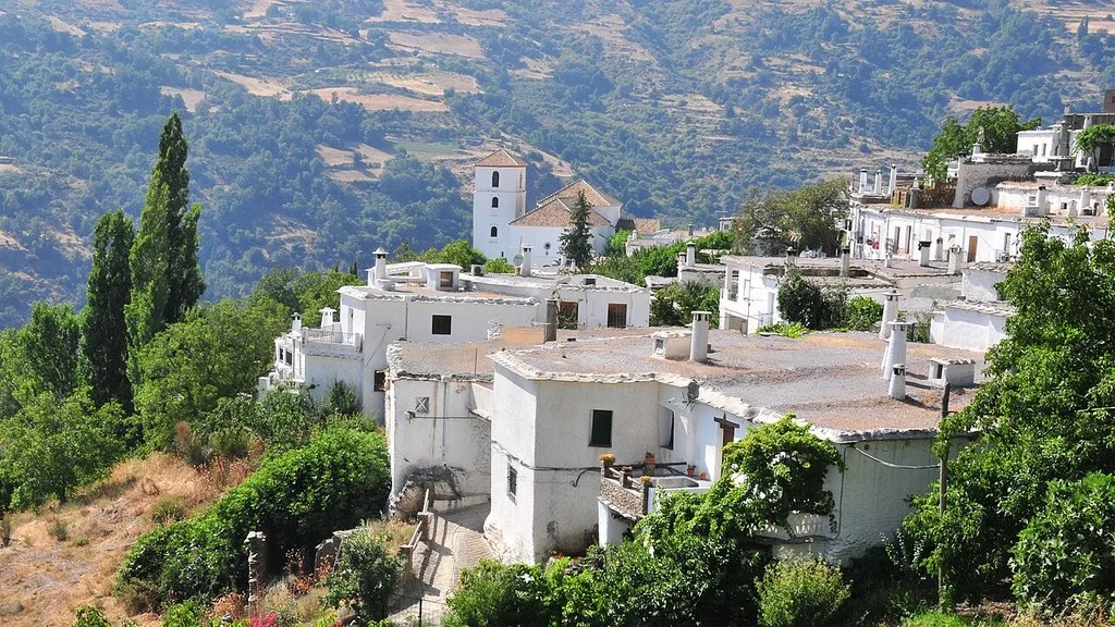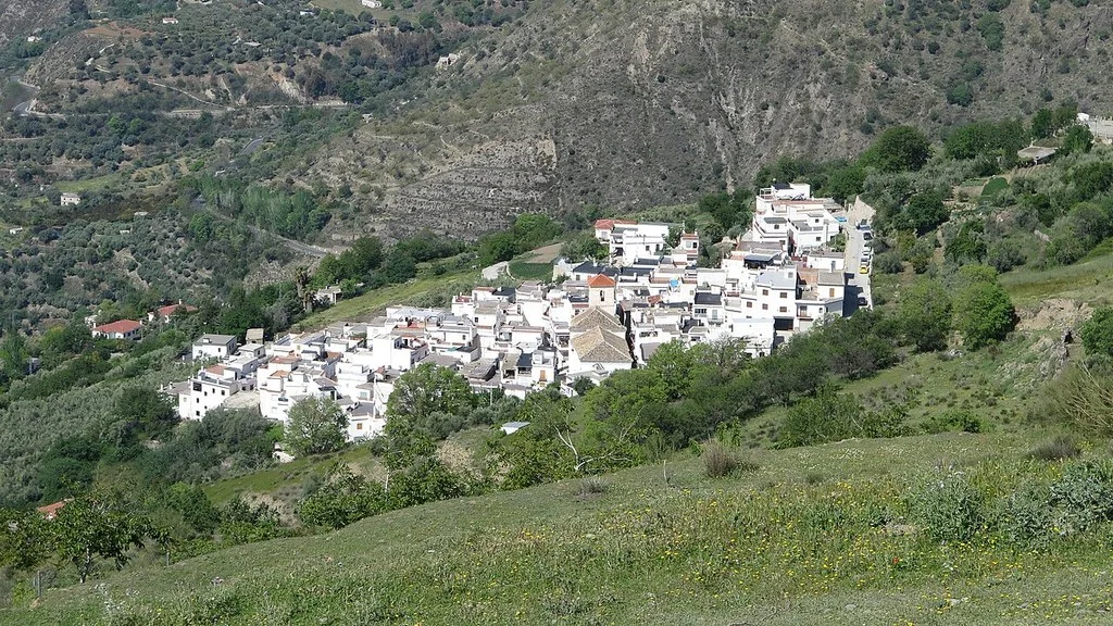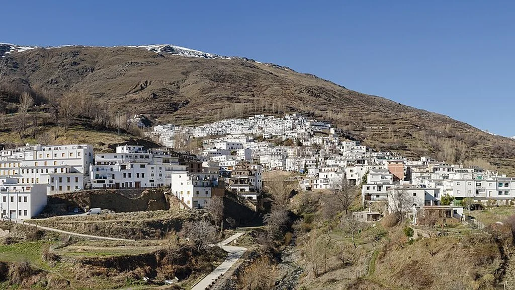
Ugíjar is in the eastern part of the Alpujarra of Granada. For a first visit you can combine the historic center and its cultural centers; If you want to walk around the area or get to know the other towns in the municipality, prepare trips and time aside.
Before traveling, check the opening and conditions of the centers that interest you and organize the outside walk around the arranged visits, especially if you have only one day.
What to see in Ugíjar: a walk through the town
The historical-cultural route of the Town Hall connects squares, religious heritage, fountains and stately homes. You can choose these stops and adapt the route to the time available:
| Area | Stops |
|---|---|
| Martyrs Square | Church of Our Lady Virgin of Martyrdom. |
| Barrio del Tárbol | Hermitage of Aurora, Pozo de la Virgen and continuation to Fuente del Arca. |
| Plaza de los Canos | Stately homes along the route and Cultural Heritage Center. |
| Adelante Street and surroundings of the convent | Streets of the town center and old Franciscan Convent of San Juan Bautista. |
| Constitution Square and Administration Street | Town Hall and Interpretation Center of La Alpujarra. |
The route ends in the area of San Antón. During the walk you can see facades of stately homes, streets and fountains; Consult separately the possibilities of access to the interiors that interest you.
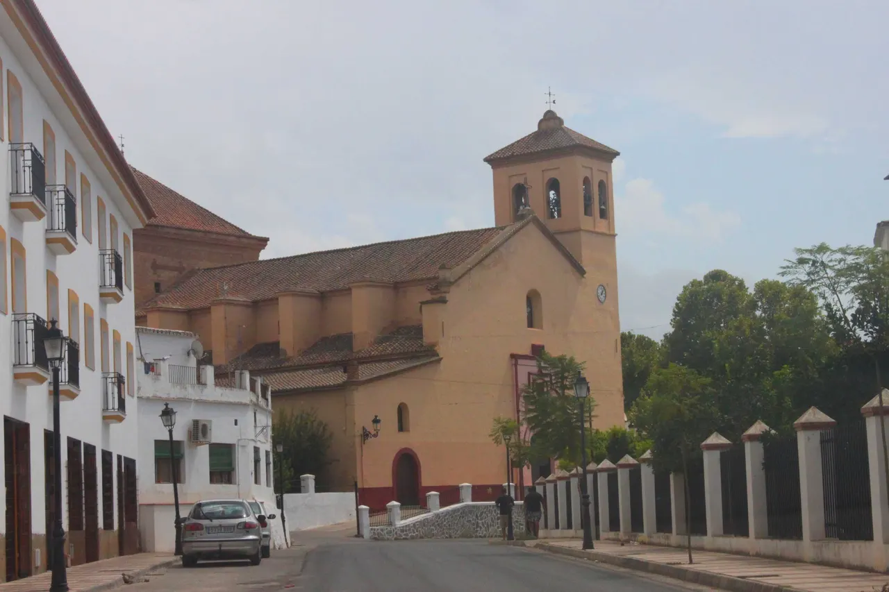
The municipal tour describes the church as a building of Gothic-Mudejar tradition. Check opening and celebrations if you want to enter. In the regional catalogue, the Well of the Virgin is presented through a religious legend; Respect its use and check the signs before using water from a source.
Two different cultural centers
The Cultural Heritage Center and the Interpretation Center are different spaces. To choose a visit, look at its contents and confirm the program and time by phone before organizing the day.
| Center | What it offers and where it is | Published schedule and consultation |
|---|---|---|
| Cultural Heritage of La Alpujarra | Ethnographic collections and crafts; Plaza de los Caños, 3. | Saturdays and Sundays, 11:00–1:30 p.m. During the week the listing only indicates opening at 10:00: check the closing time. |
| Interpretation of La Alpujarra | Geography, history and heritage; Administration Street, with number 2 in Tourism and 1 in the municipal directory. | Monday to Friday, 10:00–1:30 p.m. Saturdays and Sundays, 11:00–1:30 p.m., prior contact. |
| Historical Museum of La Alpujarra | Doña Loreto’s House, in Jorairátar. | The municipal file indicates “Currently closed”; Check a possible reopening before you travel. |
La Alpujarra Cultural Heritage Center
The municipal record of the Cultural Heritage Center places the building at plaza de los Caños, 3. It describes an ethnographic collection with pieces from agriculture, livestock, viticulture, carpentry, metallurgy, textiles and other trades.
The center allows you to learn about uses and works of the territory. Check the complete schedule, the rate if applicable, the rooms you can visit and access to each floor. The published hours for Saturdays and Sundays are from 11:00 a.m. to 1:30 p.m.; On weekdays the listing only specifies opening at 10:00.
La Alpujarra Interpretation Center
The Interpretation Center file organizes the exhibition around geography, history and cultural and ethnographic heritage of the region. It can serve as an introduction to a trip through the Alpujarra.
The tourist information card places the Interpretation Center at Administration Street, 2 and the municipal directory indicates number 1. Confirm the exact access when contacting. Post opening Monday to Friday from 10:00 to 13:30 and Saturdays and Sundays from 11:00 to 13:30, upon contact; Check holidays and possible changes.
The two files publish on 647 887 139, 958 767 019 and registro.ugijar@dipgra.es. Check visits, availability, price and accessibility for your group before booking other trips. The historical-cultural route also uses these telephone numbers as contact for guided tours.
Jorairsetar and the other towns in the municipality
The regional catalog identifies five nuclei: Ugíjar, Cherín, Jorairsetar, Los Montoros and Las Canteras. Not all points of interest are in the town of Ugíjar; Check the location and arrival route when organizing each stop.
The Historical Museum of La Alpujarra is in Jorairsetar. The municipal file consulted indicates it as «Currently closed». Do not plan an indoor visit without confirmation of reopening. Check with the City Council about the possibilities of visiting before including this interior in the trip.
To extend the trip to Cherín, Jorairsetar, Los Montoros or Las Canteras, check the location, arrival road and access to the specific resource. The annex stops require a trip apart from the walk through Ugíjar.
Path of Love: walk through the surroundings
The municipal page of the Senda del Amor SL-A 271 links a brochure with data calculated in 2017. His references are:
| Brochure information | Reference |
|---|---|
| Type | Circular |
| Distance | 4.8km |
| Estimated time | 1 hour and 40 minutes, without stops |
| Up/down slope | 219m / 204m |
The map places references such as Plaza de las Flores, Cueva de la Muela, Terrera de la Cará viewpoint, Arcos Aqueduct, Fuente del Arca and San Antón. Use the brochure to prepare the layout and confirm signage, access and possible current incidents.
Bring water, appropriate footwear and sun protection. Adjust the time to slopes, stops, heat and group capacity. The page shows stone stairs; If you need an accessible walk, check the section and the alternatives before choosing it.
The 2016 municipal brochure distinguishes SL-A 205 Ugíjar–Cuesta Viñas and SL-A 206 Camino de Yegen. They share the exit through Santa Lucía and the Diablo ravine and separate at Rambla Carlonca. Its data corresponds to each layout:
| Trail | Data from the 2016 brochure | To plan |
|---|---|---|
| SL-A 205 Ugíjar–Cuesta Viñas | 7.8 km; 2 hours 45 minutes; climb 505 m and descent 168 m. | The brochure arrives at Cuesta Viñas and proposes connecting with Yegen via the GR-7 to organize a return trip. |
| SL-A 206 Yegen Road | 8.8 km; 3 hours 5 minutes; climb 616 m and descent 186 m. | The route described ends in Yegen; prepare return transportation or an identified link. |
These times and kilometers do not automatically include the combined circuit or its links. The web sheet of the SL-A 205 publishes 7.9 km and calls it linear, although it repeats the same beginning and end. Confirm the route you are going to follow and how to return, and use the map in the brochure to distinguish both proposals of the Path of Love.
What to eat and how to organize the day
The municipal gastronomic information includes stew of stalks and fennel, offal, liberal rice and molío, as well as sausages and sweets such as puffs. Liberal rice is described as brothy and spicy; The molío includes olives and cod in the recipe on the sheet. Ask about ingredients and adaptation if you have allergies or food restrictions.
Check opening, menu, ingredients and prices with the chosen establishment. For the molío, ask for the cod and olives in the recipe; For liberal rice, because of the meat used and the spiciness, especially if you have allergies or food restrictions.
For a day focused on culture, first agree on the indoor visits and organize the outdoor walk around those hours. If you add the Path of Love, reserve time to walk, rest and eat; Leave visiting other centers for when you have enough transportation and time.
How to Get to Ugíjar from Granada, Public Transport & Where to Stay
Arrival and local contact
Prepare the itinerary from your departure point and parking before arriving. If you use public transportation, confirm operator, stop, days of service and last return for your date.
The Ugíjar Town Hall is at plaza de la Constitución, 1, 18480 Ugíjar. You can consult local information at 958 767 019 or at ugijar@dipgra.es.
Sources
- Ugíjar Tourism: historical-cultural route and contact: https://www.turismougijar.es/ruta-historico-cultural/
- Commonwealth of the Alpujarra: heritage and centers of Ugíjar: https://www.alpujarraturistica.com/municipios/ugijar/
- Ugíjar Tourism: Cultural Heritage Center: https://www.turismougijar.es/centro-de-patrimonio-cultural-de-la-alpujarra-2/
- Ugíjar Tourism: Interpretation Center: https://www.turismougijar.es/centro-de-interpretacion-de-la-alpujarra-2/
- City Hall: offices, addresses and contacts: https://ugijar.es/ayuntamiento/dependencias-y-servicios/
- Ugíjar Tourism: Historical Museum of Jorairátar and published closure: https://www.turismougijar.es/museo-historico-de-la-alpujarra-jorairatar/
- Ugíjar Tourism: Path of Love SL-A 271: https://www.turismougijar.es/senda-del-amor/
- City Hall: brochure and map of the Path of Love, data from 2017: https://ugijarcom.files.wordpress.com/2017/05/tristico-senda-del-amor.pdf
- Ugíjar Tourism: file of the SL-A 205: https://www.turismougijar.es/sendero-sl-a-205-ugijar-cuesta-vinas/
- Ugíjar Tourism: gastronomy and local recipes: https://www.turismougijar.es/informacion-gastronomica/
- City Hall: brochure and map of SL-A 205 and SL-A 206, 2016: https://ugijarcom.files.wordpress.com/2016/05/folleto-sl-a-205-206_ugc3adjar.pdf
Hiking Trail & Village Day-Trip Calculator (Time & Budget)
Calculate real hiking duration, transport cost from Granada city and local meal budget:
Guided Tours, Free Walking Tours & Tickets in Granada
Book official guided tours, monument tickets, and day trips in Granada with instant confirmation and free cancellation.
Hotels & Stays in Granada
Check live availability, location map, and stays with free cancellation in Granada.