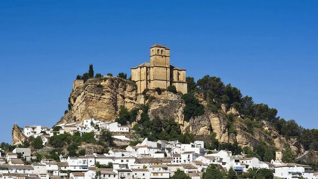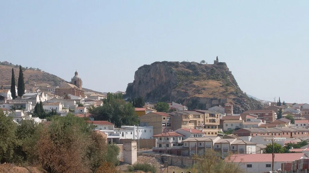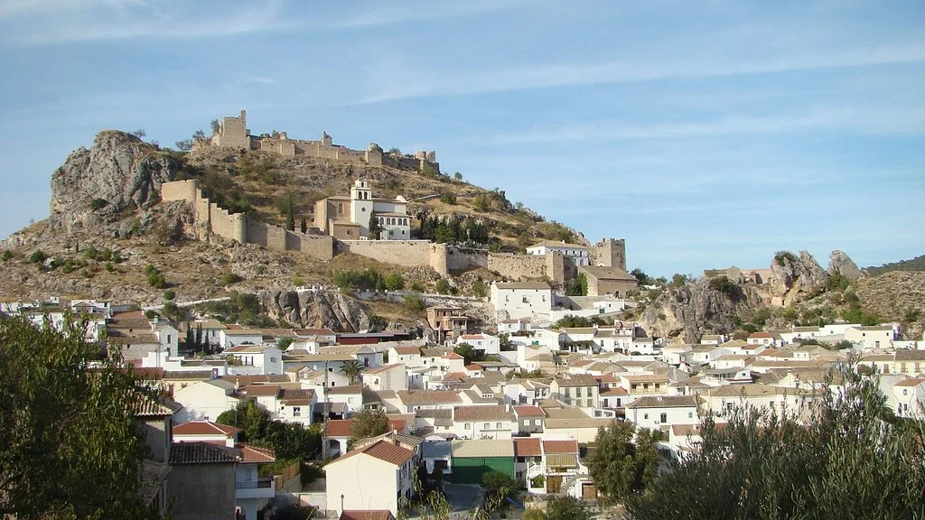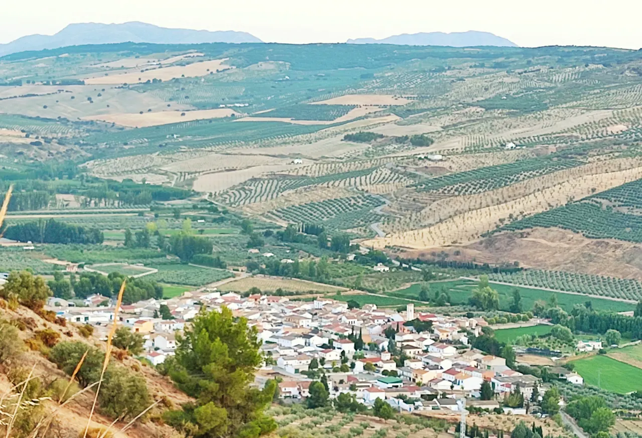
Cacín is located in the valley of the river of the same name, in the Granada region of Alhama. To prepare for the visit, distinguish the walk through the center and its recreational spaces from a day of hiking through the Tajos. The canyon routes include equipped steps and do not all have the same starting point or the same length.

What to see in the town: church and spaces next to the river
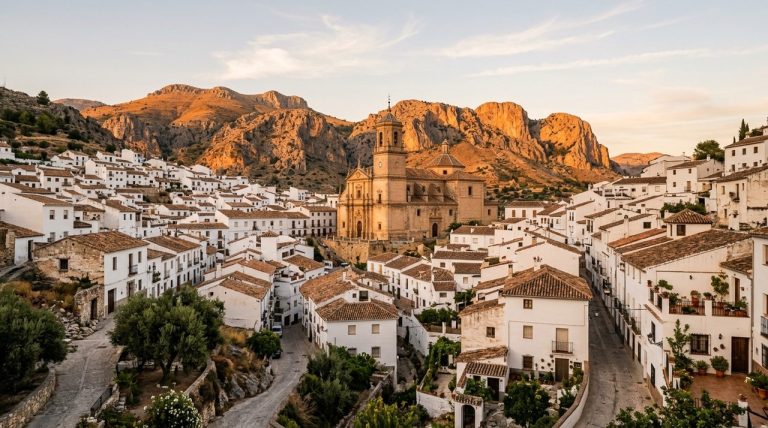
The Cacín City Council identifies the church of Our Lady of Sorrows, rebuilt after the earthquake of 1884. It describes a nave with side columns, stained glass windows and a silver chalice. You can get closer to its surroundings; To enter, confirm the opening and respect religious acts.
In front of the church there is a monument dedicated to the Roman Bridge. This is a representation, which should be distinguished from the bridge over the river. The same municipal page documents a picnic area with tables next to the Cacín. Check access and status of the space before hosting a cookout.
A visit focused on the town can combine the surroundings of the church and the picnic area, without automatically adding a route through the canyon. If you have a stroller, wheelchair or mobility difficulties, ask about the specific route, the surface and the unevenness.
The so-called “Roman” bridge and the heritage of the valley
The Tourist portal Territorio Poniente dates the popular Roman Bridge to 1901. Its traditional name does not make it a Roman-era construction. It also describes the counter-reservoir as an infrastructure for regulating water and the irrigation canal, different from the Bermejales dam.
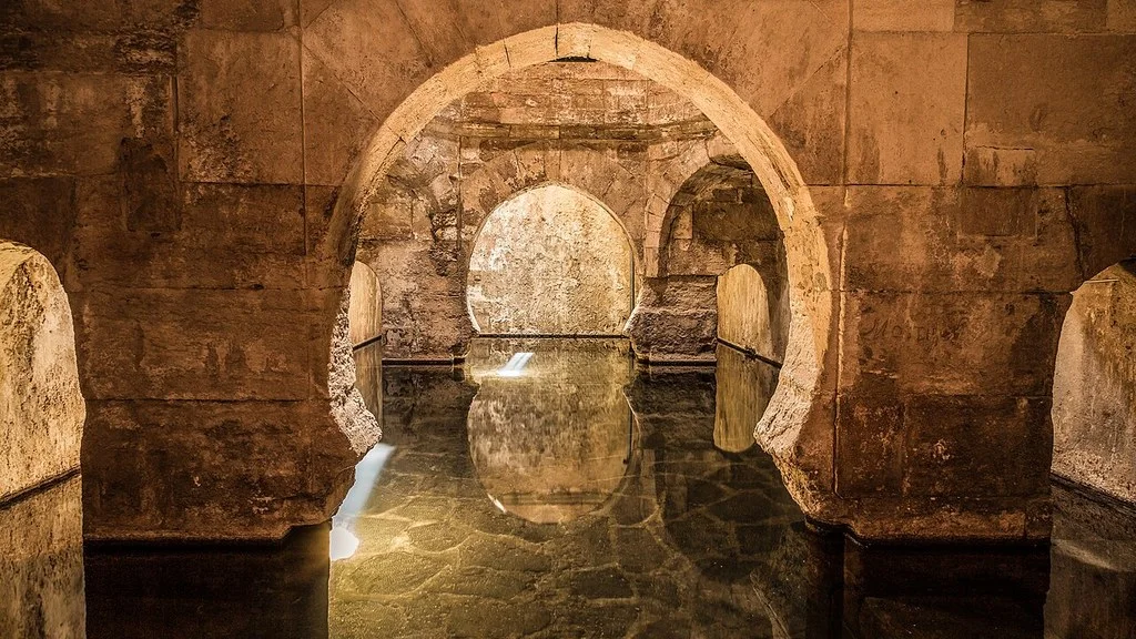
This portal documents the Cacín Cave, a Neolithic site in the Tajos, and relates the discovery of the Cacín Vase to the Archaeological Museum of Madrid. This does not certify a visitable local museum or a tourist opening of the cave. If you are interested in the enclave, request information about authorized access and conservation; Do not enter archaeological remains or farms without permission.
Tajos Routes: two routes that you should not confuse
The municipal description of the Tajos qualifies the Cacín–los Bermejales reservoir route as medium-high difficulty and advises against it in the rain due to the risk of flooding. The federative file of PR-A 254, published in 2020 describes another route, which begins at the Poblado del Pantano viewpoint.
| Route and source | Documented data | What to check |
|---|---|---|
| Cacín–los Bermejales reservoir, City Hall | 9.4 km one way; 18.8 km if you return along the same route. Medium-high difficulty. | Access from Cacín, state of the steps and way of return. |
| PR-A 254, 2020 federative file | 10.9 km, semicircular; about 4 hours; 433 m of accumulated ascent and as many descents. | Departure at the Poblado del Pantano viewpoint, next to the reservoir, and return along the lane. |
The PR-A 254 runs along the ravine to the bridge known as Roman and returns along a lane. The sheet describes metal ladders, support ropes and suspension bridges. Their figures correspond to the itinerary described, not to a departure from the center of Cacín or to any round trip variant.
Before leaving, confirm the route, weather conditions, status of the installed elements and possible restrictions. The publication of a token does not demonstrate that all steps are operational today. Choose according to the experience of the group, the ability to handle unevenness and comfort on narrow or equipped passes.
Bring water, food, grippy shoes and plenty of light. A walk along the river is not equivalent to crossing the Tajos. For an outing with children or people not used to hiking, request a specific alternative suitable for the group, without considering the entire route as easy. The tourist description also does not credit a bathing point or a kayak service.
Gastronomy and services to organize the visit
The municipal gastronomic section includes bread crumbs, old-fashioned gazpacho, pipirrana, quince and baked trout with potatoes. They are references to local cuisine; not a guarantee that all of these dishes are available at a given restaurant.
If you want to eat or stay, directly confirm opening, location, menu or services, prices and reservation conditions. For a meal, also see allergens and dietary needs.
How to Get to Cacín from Granada, Public Transport & Where to Stay
How to get there and where to consult
To arrive by car, prepare the itinerary to Cacín from your origin and check where you will park. A specific highway exit or a fixed time from Granada is not credited here. If you are going to walk, verify that the arrival location coincides with the beginning of the chosen route.
The City Council has a bus page with a schedule table in image. Check that information and confirm its validity, stop and return for your date. Confirm with the operator the links from Alhama and the availability of places for your date.
The municipal website publishes the telephone number 958 363 263, the email cacin@dipgra.es and the headquarters at Plaza Maestro Manuel Almendros, s/n, 18129 Cacín. It can guide you about heritage, access and services. For celebrations, consult the year’s program.
Sources
- Cacín City Council: https://cacin.es/municipio/rutas-turisticas-e-hitos-de-interes/
- Territorio Poniente tourist portal: https://www.ponientegranada.es/municipio/cacin/
- federative sheet of PR-A 254, published in 2020: https://fadmes.es/wp-content/uploads/2020/11/folleto-PR-A-254.pdf
- municipal gastronomic section: https://cacin.es/municipio/gastronomia/
- bus page with a schedule table in image: https://cacin.es/municipio/autobuses/
- municipal website: https://cacin.es/ayuntamiento
Hiking Trail & Village Day-Trip Calculator (Time & Budget)
Calculate real hiking duration, transport cost from Granada city and local meal budget:
Guided Tours, Free Walking Tours & Tickets in Granada
Book official guided tours, monument tickets, and day trips in Granada with instant confirmation and free cancellation.
Hotels & Stays in Granada
Check live availability, location map, and stays with free cancellation in Granada.