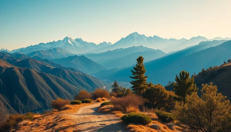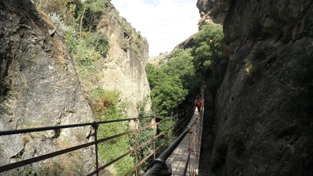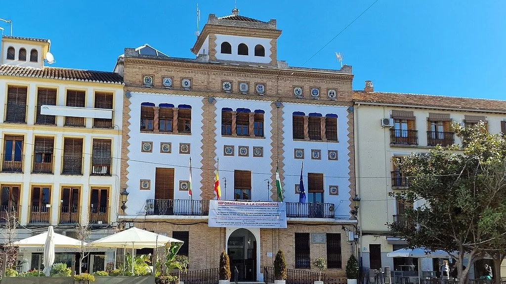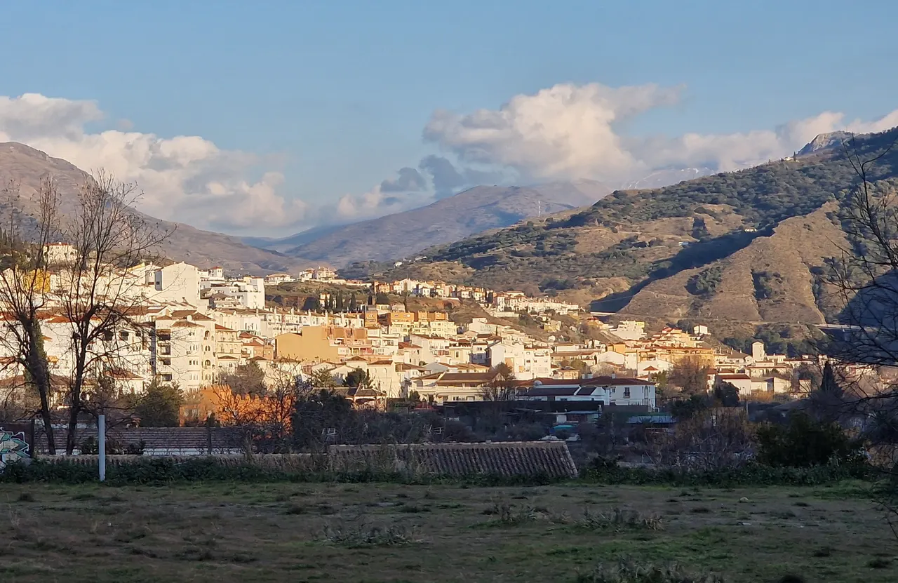
Cenes de la Vega allows you to combine a walk along the Genil with urban heritage and routes along the surrounding slopes. For a short outing, choose the core and a stretch of riverbank; For hiking, the Caminos del Oro have municipal files that distinguish distances and difficulties.
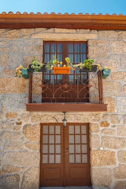
Church of the Virgin of the Rosary
The municipal tourist information identifies the church of the Virgen del Rosario, on Calle Real, and the date is the 16th century. Its Mudejar armor and three-section tower stand out.
Include it in the walk through the core. If you want to see the interior, check the opening and respect the cult. The name of the temple and that of San Bartolomé, patron saint of the municipality, correspond to different references.
Ribera del Genil and La Pita fountain
The City Council describes a route along the Genil that connects Granada, Cenes and Pinos Genil, popularly known as the Cholesterol Route. To adapt it to the group, select a section and prepare its round trip, instead of assuming that you must travel the entire connection.
Another local reference is La Pita, the town’s old water supply. Its interest is patrimonial; Check current signage before drinking from a fountain.
With a stroller, wheelchair or small children, check the road surface and access points of the chosen section. Carry water and adjust the distance to the heat and time available to return.
Caminos del Oro: choose the route
The municipal portal Huellas del Oro publishes four routes. Their files distinguish these options:
| Tour | Published distance | Published difficulty |
|---|---|---|
| The Sinkers | 8.39 km | Moderate |
| The Red Lands | 6.17 km | Moderate |
| Las Minillas Ravine | 7.68 km | High |
| La Campana Hole | 7.42 km | Moderate |
Consult the map of the chosen route and check the gradient, start and return. Las Minillas rises to levels higher than 1,100 meters; Las Tierras Coloradas has a first climb without vegetation cover. Prepare mountain shoes, water and sun protection.
The route of Las Tierras Coloradas allows you to interpret the Aguas Blancas Canal, linked to the gold mining operations of the 19th century. In Los Hundideros, the possible Roman extraction is proposed as a hypothesis pending archaeological verification. The value of the landscape does not allow this exploitation to be proven.
Old tram stop
The municipal information preserves the memory of the Sierra Nevada Tram and its old stop. The Huellas del Oro portal presents there a project for a Gold Mining Interpretation Center.
Before organizing an interior visit, ask about its location and opening. The description of a project does not prove that a museum with regular hours exists.
How to Get to Cenes de la Vega from Granada, Public Transport & Where to Stay
How to arrive and organize departure
The Transport Consortium identifies the line 395: Granada–Cenes de la Vega–Dúdar–Quéntar. Check the stops and departures corresponding to your date, both on the way there and back.
For other urban connections, use the mobility information from Cenes City Council. Calculate the distance on foot to the beginning of the walk or trail you choose. By car, check access and parking for that specific point.
Combine church and riverside in a short visit, or book the departure for one of the Caminos del Oro. To eat afterwards, confirm the location and hours of the establishment before adjusting your return.
Sources
- municipal tourist information: https://www.cenesdelavega.es/turismo-cenes-de-la-vega
- Municipal portal Huellas del Oro: https://www.turismocenesdelavega.com/senderismo/
- Traces of Gold portal: https://www.turismocenesdelavega.com/centro-de-interpretacion/
- Transportation Consortium: https://ctagr.es/horarios-2/horarios-reducidos
- Cenes Town Hall: https://cenesdelavega.sedelectronica.es/info.0
Hiking Trail & Village Day-Trip Calculator (Time & Budget)
Calculate real hiking duration, transport cost from Granada city and local meal budget:
Guided Tours, Free Walking Tours & Tickets in Granada
Book official guided tours, monument tickets, and day trips in Granada with instant confirmation and free cancellation.
Hotels & Stays in Granada
Check live availability, location map, and stays with free cancellation in Granada.