Ferreira is a municipality in the Marquesado del Zenete where you can combine Andalusian heritage and a walk through the town. If you want to add Puerto de la Ragua, prepare that trip as a different mountain activity, with its own route and access conditions.
The citadel and the Arab Architecture Interpretation Center
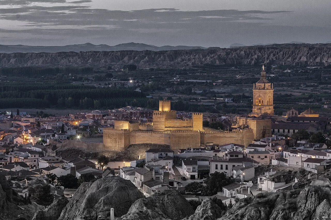
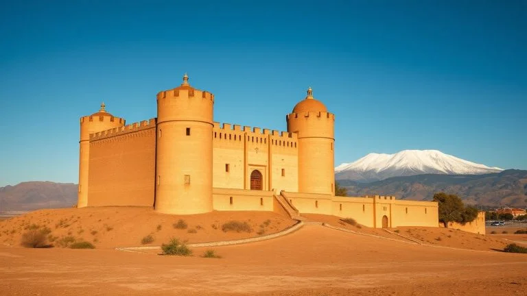
The Granada Geopark file places the center in the restored citadel and in the premises of the Casa Grande, a remodeled Moorish mansion. Its content explains the Arab architecture of the Marquisate: baths, castles, towers and cisterns.
The center is on Alcazaba street, s/n. The Granada Geopark file is published on 958 677 217 and ayuntamientodeferreira@gmail.com. Check the schedule, if a visit must be arranged, the price and what rooms and exhibition resources can be seen. If you need to avoid barriers, ask about access to the building and the interior route.
The Arab baths: historical heritage, with access to be confirmed
Decree 13/2004 published in the BOE declares the Arab baths of Ferreira a Site of Cultural Interest, with the category of Monument, and locates them at Pilar Street, number 6.
The heritage description places its origins between the 12th and 13th centuries. It explains three vaulted rooms, corresponding to the cold, warm and hot bath, and their adaptation to the slope of the land. It also documents its reuse as a home and access to the rooms from a room in the semi-detached house.
To visit the Arab baths, ask the City Council if there are authorized visits, if they require an appointment and what part of the building can be visited. This is historical heritage: prepare your visit to the property and confirm the entry point before moving.
Church of Our Lady of the Annunciation
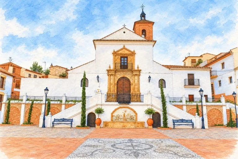
The City Hall identifies the temple as Our Lady of the Annunciation. It explains its origin about the old mosque, the Mudejar character and the changes after its partial destruction during the Civil War.
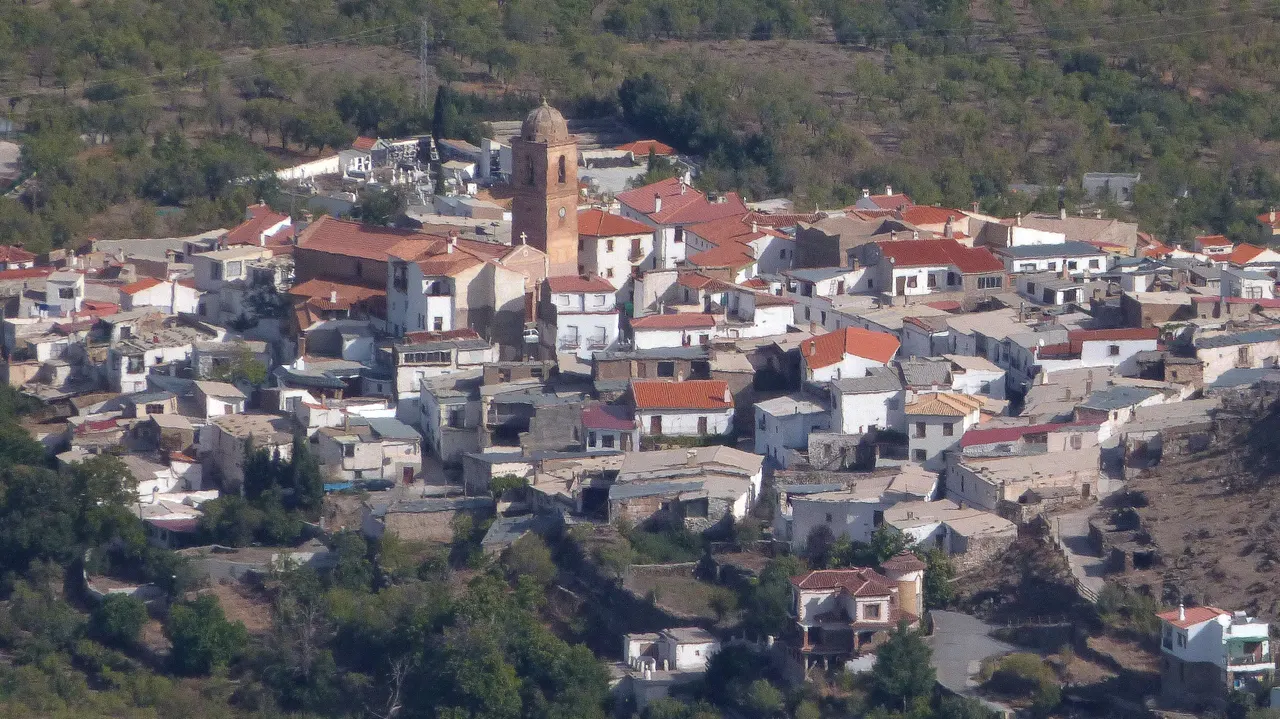
The municipal file highlights the side naves connected by arches and the two-section tower, topped by a dome. To see the interior, consult with the person in charge about the opening and the acts of worship. If you need step-free access, ask about the entrance and the interior route.
The hermitages of the Virgen de la Cabeza and de las Ánimas
The same municipal source places the hermitage of the Virgen de la Cabeza in El Castañar and the small hermitage of Las Ánimas on the Camino de los Peralejos, in the direction of Dólar. The latter has as its object of worship an image of the Virgin of Carmen with the souls in purgatory.
Before leaving for the hermitages, check their location, the permitted route, the starting point and the state of the road surface. Ask for the distance and gradient to decide if the ride suits your group. If you need to avoid slopes or steps, ask about each section and entrance.
Puerto de la Ragua: a different exit from the walk through the town
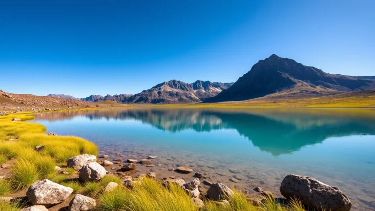
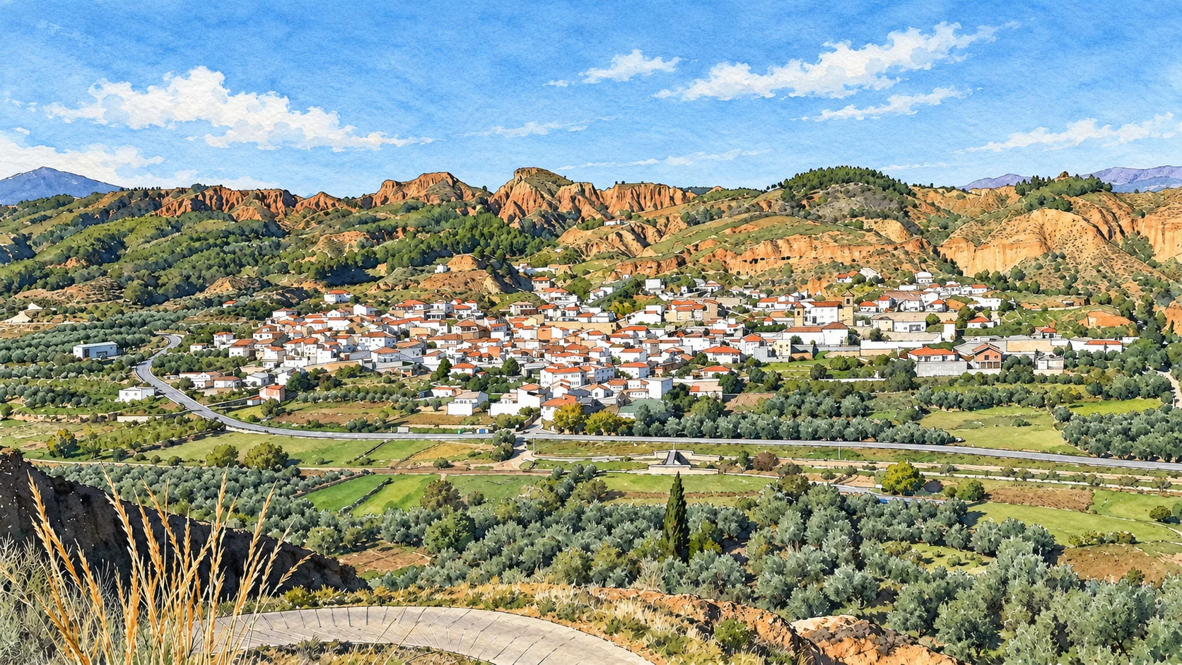
The City Hall places a large part of the municipal area in the Sierra Nevada National Park. The access card to Sulayr from Ferreira of the Junta de Andalucía explains that the A-337 ascends to Puerto de la Ragua, at about 2,000 meters of altitude. He distinguishes this road access from the climb on foot along the GR-7, which he considers demanding due to its unevenness.
Therefore, do not prepare the climb from Ferreira as if it were a short walk suitable for any group. Choose a route according to your preparation, check the weather and current restrictions and bring the appropriate equipment. The sheet reminds us that the Sulayr moves away from the population centers and enters the high mountains.
A documented option is Puerto de la Ragua–El Hornillo, in TurGranada: it starts from the hostel-refuge of the port, not from the urban center of Ferreira, and ascends through Majacaco towards the morrones de la Cabañuela and del Hornillo. Publish about 8.8 kilometers and three hours as a reference for the route. This time does not include arriving at the port nor does it guarantee the conditions of the day.
Before using the shelter or snow activities in Puerto de la Ragua, ask the manager what services work, their dates and times, the access conditions and if a reservation is required. For a snow activity, also check the status of the circuits and the weather forecast.
How to prepare the trip from Granada
The information from the Board on the northern access to Puerto de la Ragua describes the A-92 towards La Calahorra and the detour to the port. To visit Ferreira, calculate the itinerary to the municipality; To go up to the pass, also check the conditions of the mountain road.
Calculate the driving time from your departure point and review the incidents for the chosen date. Locate a permitted parking space and the walking route to the heritage site you want to visit.
If you depend on the bus, ask the City Council which operator provides the service to Ferreira. Confirm with that operator the origin, the exact stop, the days of circulation and the round trip shipments for your date. If you arrive in Guadix or another municipality, also take the link to Ferreira.
How to Get to Ferreira from Granada, Public Transport & Where to Stay
Food, accommodation and organization of the visit
The municipal gastronomy description mentions migas, rabbit stew, oil cakes and wine roscos. If you want to try some, check what dishes the establishment prepares for the day of your visit.
Confirm address, schedule, menu and food needs with the place where you want to eat. To stay, check location, services and reservation.
For a short visit, organize the interpretation center and urban heritage first. Add El Castañar or a mountain route when you have confirmed access and transportation. The City Hall publishes Plaza de la Constitución, 1, 18513 Ferreira; telephone 958 677 415 and ferreira@dipgra.es.
Sources
- Granada Geopark — interpretation center of Arab architecture, address and contact: https://www.geoparquedegranada.com/localizaciones/centro-de-interpretacion-de-la-arquitectura-arabe-de-ferreira/
- Official State Gazette — Decree 13/2004, declaration and description of Arab baths: https://www.boe.es/diario_boe/txt.php?id=BOE-A-2004-5143
- Ferreira Town Hall — Church of the Annunciation and hermitages: https://www.ferreira.es/municipio/rutas-turisticas-e-hitos-de-interes/
- Ferreira City Council — municipality and Sierra Nevada: https://www.ferreira.es/ayuntamiento
- Junta de Andalucía — access to the Sulayr trail from Ferreira: https://www.juntadeandalucia.es/medioambiente/portal/documents/20151/053e455a-7e08-3845-54e0-48f41497e440
- Provincial Council of Granada, TurGranada — Puerto de la Ragua–El Hornillo route: https://turgranada.es/es/rutas/puerto-de-la-ragua-el-hornillo
- Junta de Andalucía — access through La Calahorra to Puerto de la Ragua: https://www.juntadeandalucia.es/medioambiente/contenidoExterno/rutasysenderosSierraNevada/ruta-e.html
- Ferreira Town Hall — traditional dishes: https://www.ferreira.es/municipio/gastronomia/
- Ferreira Town Hall — address, telephone number and municipal email: https://www.ferreira.es/inicio/
Hiking Trail & Village Day-Trip Calculator (Time & Budget)
Calculate real hiking duration, transport cost from Granada city and local meal budget:
Guided Tours, Free Walking Tours & Tickets in Granada
Book official guided tours, monument tickets, and day trips in Granada with instant confirmation and free cancellation.
Hotels & Stays in Granada
Check live availability, location map, and stays with free cancellation in Granada.