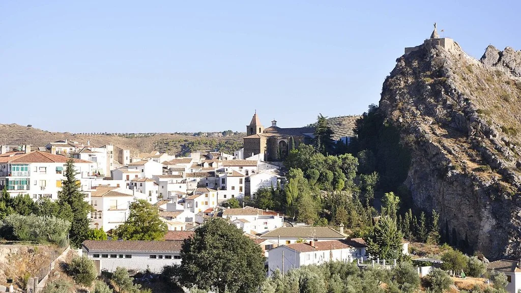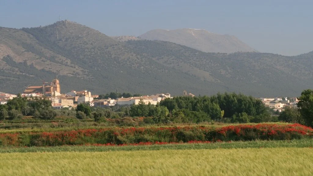
Freila is in the Baza region, within the Granada Geopark. To prepare for the visit, distinguish the walk through the town center from the trips to the Negratín reservoir: the heritage, the cave neighborhoods and the riverside require their own access and return plan.
Freila medieval castle
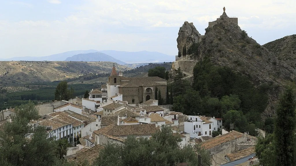
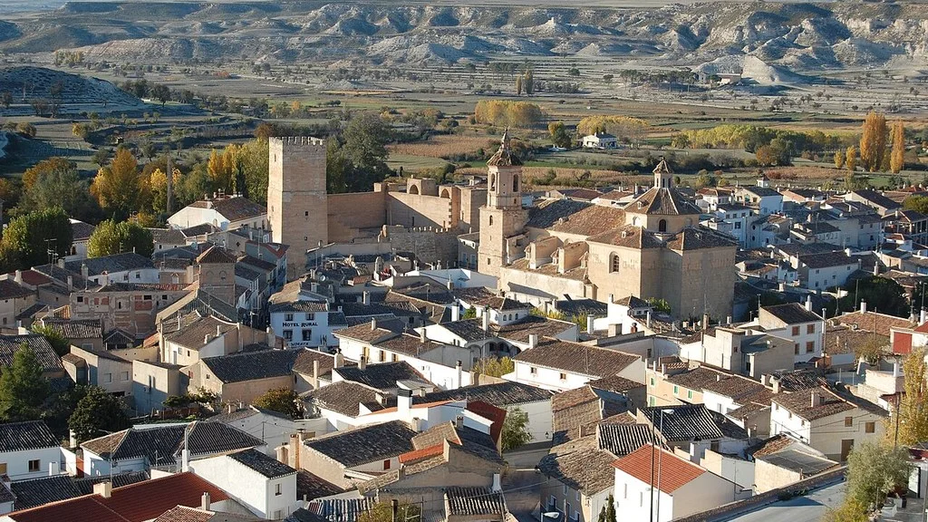
The City Hall heritage file dates the castle to around the 12th and 13th centuries. It identifies remains of a masonry tower, cistern, barbican and walled enclosure, linked to the surrounding defensive system.
Check with the City Council which accesses are open and what state the route is in before approaching. Only use authorized areas and confirm if you are allowed to enter the premises or climb the tower.
Church of the Annunciation and views from the town
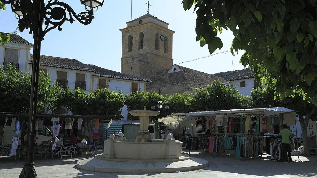
The City Council identifies the church of Santa María de la Annunciación, from the 16th century, in Plaza de la Iglesia. The Mancomunidad de Baza highlights its 17th century marble baptismal font and describes the views towards Negratín from the church square.
This square is a documented reference to observe the landscape from the urban area. To visit the interior of the temple, confirm the opening and respect the acts of worship. If you need to avoid steps or slopes, ask for the entrance and the specific route.
Cave and laundry neighborhoods
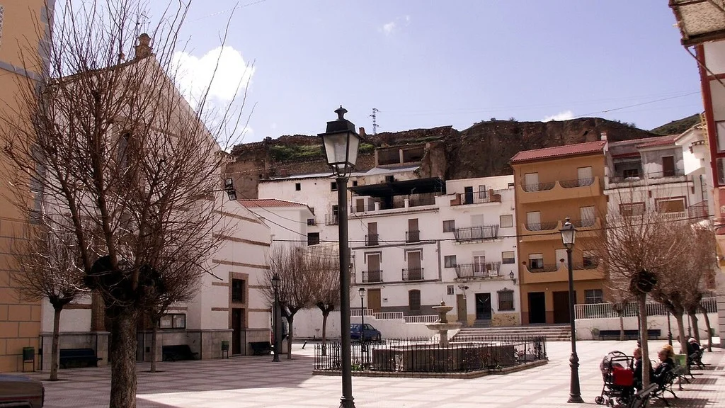
The Commonwealth describes different cave neighborhoods, including Paraíso, Barrio Nuevo, Alameda, Castillo, Almendro, Pozo and Pinares. His interest is the inhabited landscape and the relationship of the houses with the relief. A cave that is part of a neighborhood is not automatically a museum that can be visited: respect private access and check if there is an arranged visit.
The Provincial Tourist Board file places the laundry in the river gardens, under the castle, next to a fountain and a water trough. It describes seven sinks, a canal and a sink, without attributing a precise chronology.
Before adding the laundry to the walk, check with the City Council how to get there, the state of the road and whether access is open. Plan this stop along with the castle surroundings.
Maruq Tower and Negratín surroundings
The municipal heritage file identifies the Maruq tower as a watchtower of Arab origin on the southern bank of the Guadiana Menor, next to the reservoir area. It is a different resource from the urban castle.
Before traveling to the tower, ask the City Council for the location, authorized access and a place to stop. Ask about trail signage and restrictions before choosing a walking or driving tour.
Beach and activities at the reservoir: check the specific point
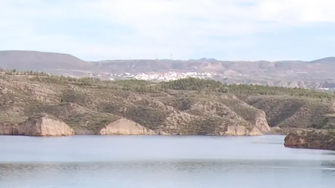
The Commonwealth places Freila beach in an inlet of the swamp at the height of Cortijo del Cura. The visit can focus on the landscape of the riverbank and the gullies; To take a bath or hire an activity, also check the conditions of the place and day.
Consult the official information on bathing waters from the Junta de Andalucía and local notices. The health map published in September 2026 identifies a point of the Negratín in Cuevas del Campo: its result should not be extrapolated to any shore of Freila or to a later date.
For canoeing or another activity, confirm with the organizer the meeting point, availability, equipment included, and age and experience requirements. If you are looking for a rental or a guided activity, agree on these services before you go. For the bathroom, check the notices and surveillance of the specific point.
Hiking and cycling: published and proposed routes
The municipal route page presents two options: El Túnel, in the mountains, and Embalse del Negratín, in the valley, with links to maps. Check their routes and ask for current information on distance, gradient, signage and access before choosing.
There is also a proposal in the Geopark Trails Master Plan, 2024 update, to link Freila with the Sierra de Baza Greenway and the GR 342. The document proposes enabling a linear route of about 10.2 kilometers, one way only. Before using this route, ask the City Council if it has been executed and signposted and request the updated route; The 10.2 kilometers correspond to the plan proposal (page 128).
Choose a route according to your preparation and calculate the complete return. Check the weather and bring water, sun protection and footwear suitable for the terrain. Check distance, unevenness and road surface; If you need an accessible itinerary, also check the slopes and possible barriers of the specific route.
How to get there and organize the return
The municipal access information places Freila about 96 kilometers from Granada and indicates the A-315, which connects Baza with Torreperogil. Calculate the itinerary and travel time from your departure point, and check traffic incidents before leaving.
If you depend on public transport, check with the operator and the City Council for connections from Baza for your date, the exact stop in Freila and the last return. Also organize transportation between the town and the riverside before leaving.
How to Get to Freila from Granada, Public Transport & Where to Stay
Camping, food and municipal contact
The City Council publishes a file for the La Cabañuela campsite, on Camino del Cortijo del Cura, s/n, about four kilometers from the town. Pick up the phones 958 063 108 and 618 721 646 and the email campingfreila@gmail.com. Ask about opening, rates, reservation and services for your date; The file describes the summer swimming pool and cafeteria.
The municipal gastronomy section collects the papajotes and the porridge cakes. If you want to try them, ask the establishment if they prepare them and confirm their hours. Check the menu and communicate any allergies or dietary needs when booking.
The Freila City Council publishes its address at Plaza San Marcos, s/n, 18812 Freila; telephone 958 865 201 and email aytofreila@gmail.com. Consult heritage, access to the riverbank and local incidents to prepare the route.
Sources
- Freila Town Hall — castle, church and Maruq tower: https://www.freila.es/turismo-00001/lugares-destacados/
- Commonwealth of Baza — heritage, cave neighborhoods and Freila beach: https://mancomunidaddebaza.es/municipios/freila/
- Provincial Tourist Board of Granada — Freila laundry: https://www.turgranada.es/es/pois/lavadero-de-freila
- Junta de Andalucía — information and warnings about bathing waters: https://www.juntadeandalucia.es/organismos/presidenciasanidadyemergencias/areas/sanidad/entornos-saludables/salud-ambiental/paginas/zonas-bano.html
- Junta de Andalucía — health map for September 2026: https://www.juntadeandalucia.es/sites/default/files/inline-files/2026/09/aguas_de_ba%C3%B1o_20260918.html
- Freila Town Hall — routes and maps: https://www.freila.es/turismo-00001/rutas-turisticas-e-hitos-de-interes/
- Granada Geopark — Trails Master Plan 2024, proposal by Freila (page 128): https://www.geoparquedegranada.com/wp-content/uploads/2025/04/MEMORIA-PD-SENDEROS-GEOPARQUE-ACT-2024.pdf
- Freila Town Hall — location and access roads: https://www.freila.es/municipio/localizacion-y-vias-de-acceso/
- Freila City Council — La Cabañuela campsite and contact: https://www.freila.es/turismo-00001/turismo/
- Freila Town Hall — gastronomy: https://www.freila.es/municipio/gastronomia/
- Freila City Council — address, telephone number and municipal email: https://www.freila.es/
Hiking Trail & Village Day-Trip Calculator (Time & Budget)
Calculate real hiking duration, transport cost from Granada city and local meal budget:
Guided Tours, Free Walking Tours & Tickets in Granada
Book official guided tours, monument tickets, and day trips in Granada with instant confirmation and free cancellation.
Hotels & Stays in Granada
Check live availability, location map, and stays with free cancellation in Granada.