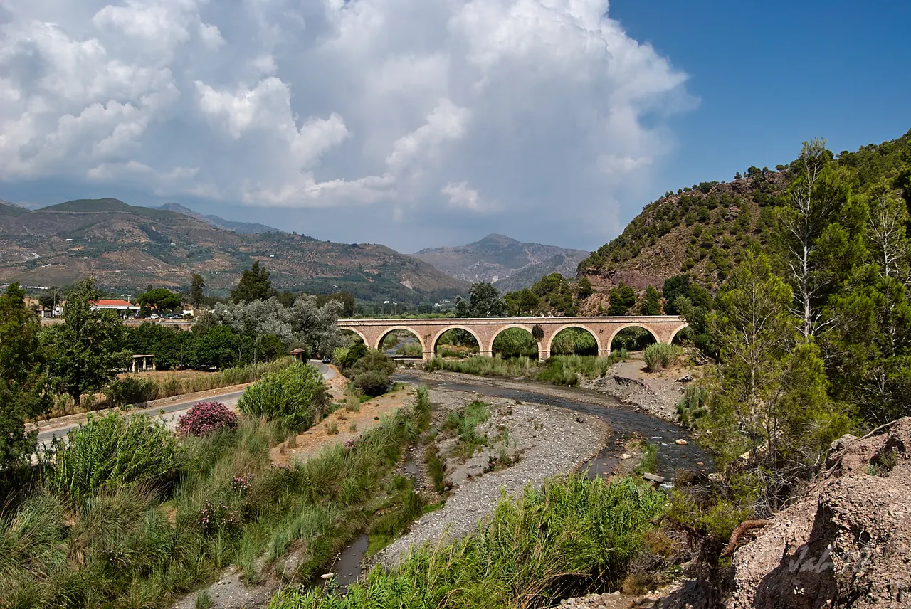
The Guadalfeo, also called the Grande River, is the main river around Órgiva. Next to it you will find references to the Chico de Órgiva River, one of its tributaries. They are different courses: it is advisable to identify which one appears on the map or on the route you want to follow.
Guadalfeo and Río Grande: two names to guide you
The Junta de Andalucía identifies the Río Grande with the Guadalfeo and presents it as the axis of the western Alpujarra. In the landscape of Órgiva, water is also linked to orchards, irrigation ditches and olive trees.
If your goal is to see the Guadalfeo, look for the exact section and observation point. The reference to the river in the municipality does not mean that its bank coincides with the urban center or that any street ends in a public access.
What role does the Chico River have?
The Chico River runs through the surroundings of Cáñar and Soportújar towards the Órgiva plain. The IGME hydrogeological report includes the Chico de Órgiva river among the tributaries of the Guadalfeo.
When choosing an excursion, check the full name of the riverbed and the departure point. A tour of the Chico River ravine and a visit to the Guadalfeo Valley can take you to different places and terrain.
How to prepare a visit to the river environment
For a first outing, decide if you want to contemplate the valley, take a walk or complete a hiking route. Preparation changes depending on the plan:
- For a landscape view: choose a location with public access and room to stop; Avoid improvising a stop on the road or shoulder.
- To walk: use a specific itinerary with departure, distance, elevation gain and return. Don’t turn a line on the map into a circular walk or leave all paths open.
- With children or reduced mobility: ask about the road surface, slopes and intersections of the exact route. The proximity to the town does not show that the riverside is accessible.
- If you depend on public transport: confirm separately the arrival in Órgiva, the trip to the start and the return.
The Órgiva Tourist Office publishes the telephone number 958 784 266. You can check which tours fit your group and ask for information about the status of access before leaving.
Is it a bathing area?
Seeing water or a bank in a photograph does not prove that that point is an authorized bathing area. For this plan, check the availability of the place and the conditions of the day. Avoid entering the riverbed with rain or flood warnings and respect access restrictions.
How to Get to Órgiva from Granada, Public Transport & Where to Stay
Combine the landscape with Órgiva
Organize the visit to the urban center first and add an outing to the surroundings only if it fits with the time, travel and the group. The guide to Órgiva in one day helps you select cultural stops. To locate the municipality within the region, also consult the role of Órgiva in the Alpujarra.
Sources
- Junta de Andalucía — surroundings of Órgiva, Guadalfeo and the Chico River: https://www.juntadeandalucia.es/medioambiente/contenidoExterno/rutasysenderosSierraNevada/sendero-14.html
- IGME — tributaries of the Guadalfeo: Chico de Órgiva River (PDF, printed page 88): https://info.igme.es/SidPDF/173000/337/173337_0000001.pdf#page=104
- Órgiva City Council — Tourist Office telephone number: https://www.ayuntamientodeorgiva.es/telefonos-de-interes/
Granada Trip Budget, Tickets & Itinerary Calculator (1–4 Days)
Calculate your estimated daily budget per person (monument tickets, local transport & tapas):
Guided Tours, Free Walking Tours & Tickets in Órgiva
Book official guided tours, monument tickets, and day trips in Órgiva with instant confirmation and free cancellation.
Hotels & Stays in Órgiva
Check live availability, location map, and stays with free cancellation in Órgiva.