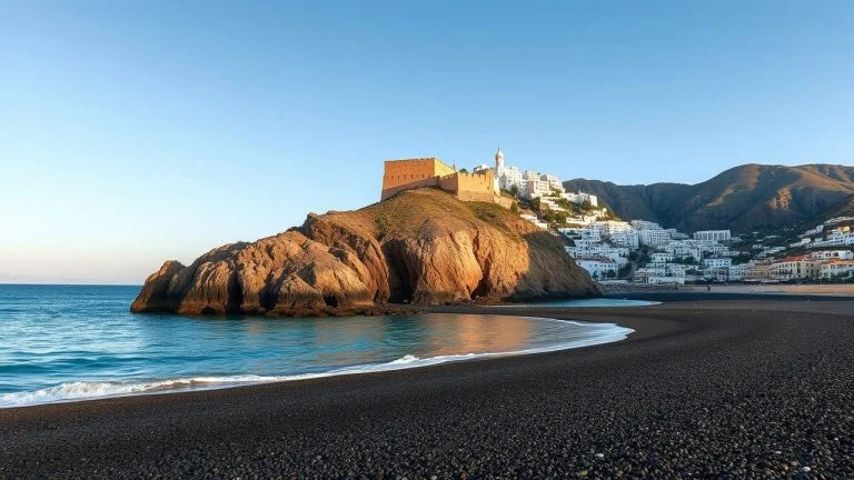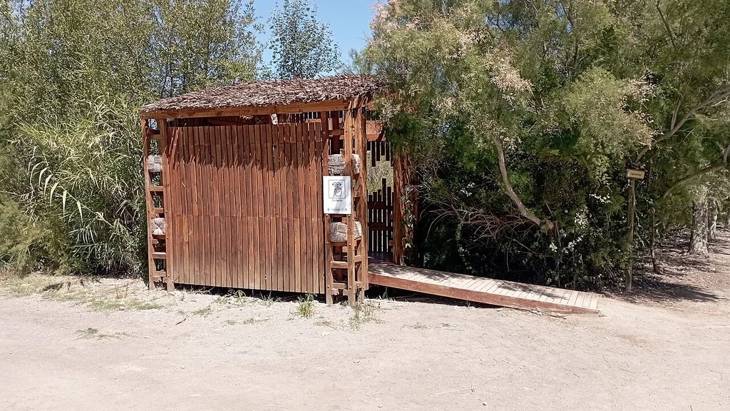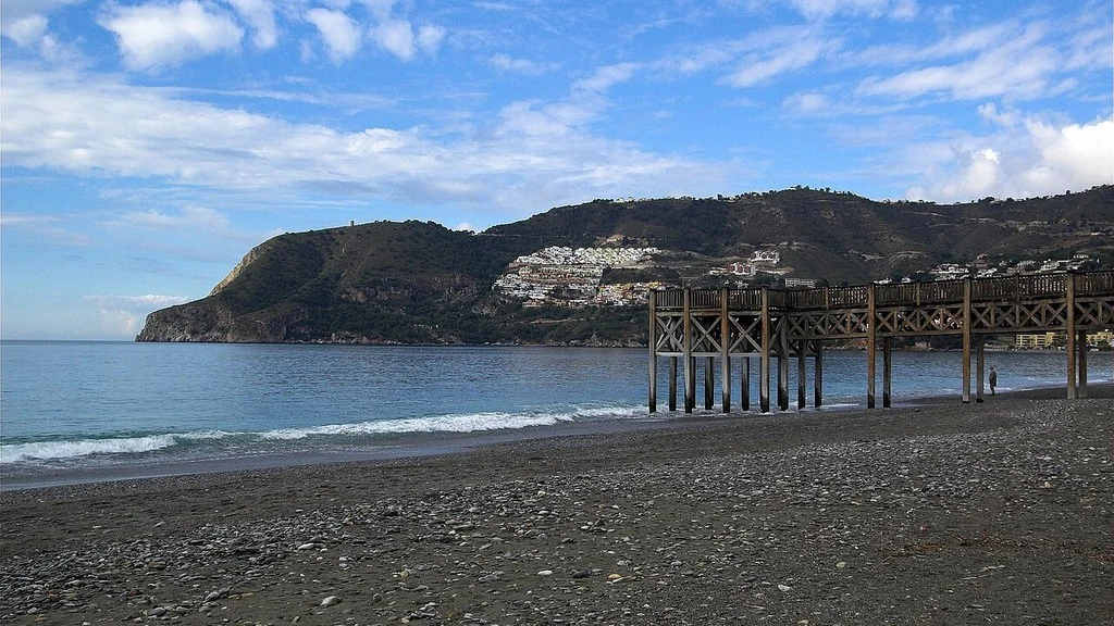
Los Guájares brings together three nuclei: Guájar Fondón, Guájar Faragüit and Guájar Alto. Its landscape is organized around the valley of the Toba River. For a first visit, you can combine a walk through the towns with the heritage of El Castillejo, as long as the route and conditions fit your experience.
What to choose for your visit
| Stop | Interest | What to prepare |
|---|---|---|
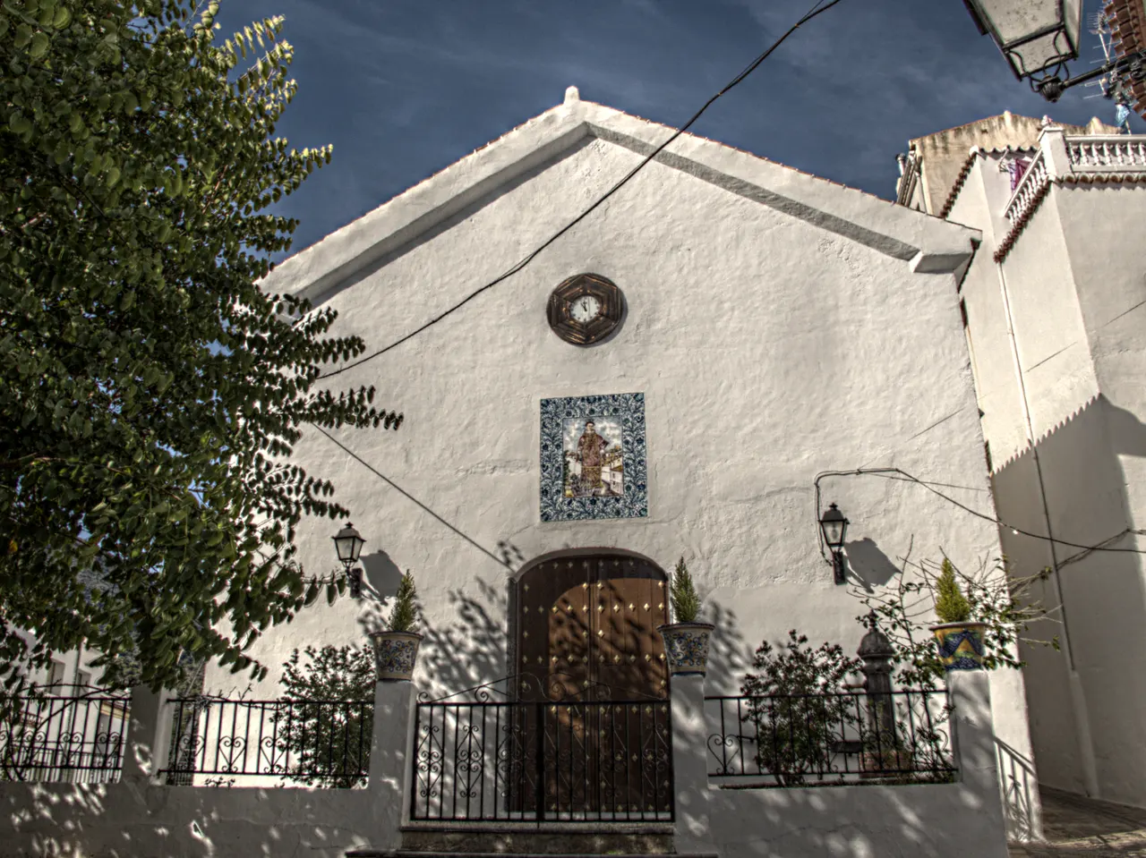
| Guájar Fondon | Urban walk and church of San Antonio de Padua. | Confirm opening if you want to enter the church. |
| Guájar Faragüet | Nucleus where the Town Hall is located and access point to El Castillejo. | Separate the walk through the town from the climb to the site. |
| Guájar Alto | Third town to complete the route through the valley. | Organize the trip and return. |
| The Castle | Andalusian fortified town with remains of homes and walls. | Sloping ascent on foot; check trail status. |
Three towns in the Toba Valley
The history published by the City Council explains that the municipality was created in 1973 when the old municipalities of Guájar Alto, Guájar Faragüit and Guájar Fondón were united. It locates the valley between the Chaparral and Guájaras mountain ranges and relates the settlement to the orchards and water sources.
This same source distinguishes El Castillejo from Guájar la Vieja: they are not two interchangeable names for a single town. To tour the municipality, choose the center where you are going to start and separately calculate the trips between towns.
In Guájar Fondón, the municipal page of routes and landmarks of interest identifies the church of San Antonio de Padua. You can incorporate it into the urban walk and check the opening if you are interested in entering.
El Castillejo: heritage and access conditions
The heritage file of the Provincial Council of Granada describes El Castillejo as a fortified Andalusian town located on a hill next to the Toba River. It preserves part of the walled enclosure, homes and remains of a cistern. The record places its occupation between the middle or end of the 12th century and the beginning of the 14th century, with specific uses later in the 16th century.
The Provincial Council indicates access from Guájar Faragüit and an alternative from the upper part of Guájar Fondón. He recommends leaving the vehicle at the entrance of the town, before the narrow streets that lead down to the river. Check where parking is allowed when you arrive.
The ascent to the town is done on foot. The source describes it as medium difficulty and warns of a steep climb and the lack of access for people with reduced mobility. It is not proposed as a visit accessible to everyone or as a stop to reach by car.
The provincial card indicates free admission. Before leaving, check the state of the road, possible restrictions, weather and return route. Do not climb walls or disturb archaeological remains.
A day or a weekend
For one day, you can choose Guájar Fondón and Guájar Faragüit and consider the climb to El Castillejo if you have time and preparation. If you prefer an urban walk, dedicate that time to the towns and leave the route for another time. The distance of a trail and the duration of your visit to the municipality are different decisions.
With a weekend, add Guájar Alto and leave room to eat, rest and move around.
To walk, bring water, sun protection and appropriate footwear, and time your return with light. If you are traveling with minors or need to reduce slopes and steps, ask about the specific itinerary before deciding. The proximity of a river does not imply that there is an authorized bathing area.
Eat and stay
The municipal gastronomy page mentions migas among the dishes of the area. Ask about the cuisine available that day, ingredients and dietary needs. A list of traditional dishes does not prove that all of them are served in any establishment.
When choosing accommodation or restaurant, check the location, address, opening and conditions directly with the business. Organize meals and accommodation according to travel between the three towns and the starting point of your route.
How to Get to Los Guájares from Granada, Public Transport & Where to Stay
How to get there and request information
The municipality is located in the Costa Tropical region, according to its location page. Select Guájar Fondón, Guájar Faragüit or Guájar Alto as your specific destination and check the current itinerary before leaving.
If you depend on the bus, confirm origin, stop, date and return with the operator before booking accommodation.
The municipal directory locates the Town Hall at Calle Doctor Alcántara, 39, Guájar Faragüit, and publishes the telephone number 958 629 001. The footer of the website shows another number; Use the directory as a reference and confirm the attention. You can check the status of access to the site, interior visits or transportation information.
Sources
- Los Guájares City Council — History and union of the three municipalities: https://losguajares.es/municipio/historia-de-la-ciudad/
- Los Guájares City Council — Church of San Antonio de Padua, Guájar Fondón: https://losguajares.es/municipio/rutas-turisticas-e-hitos-de-interes/
- Diputación de Granada — El Castillejo: heritage, access and difficulty: https://tupatrimonio.dipgra.es/hito/castillejo-de-los-guajares
- Los Guájares City Council — Gastronomy: https://losguajares.es/municipio/gastronomia/
- Los Guájares City Council — Location: https://losguajares.es/municipio/localizacion-y-vias-de-acceso/
- Los Guájares City Council — Directory, address and contact: https://www.losguajares.es/ayuntamiento/dependencias-y-servicios/
Hiking Trail & Village Day-Trip Calculator (Time & Budget)
Calculate real hiking duration, transport cost from Granada city and local meal budget:
Guided Tours, Free Walking Tours & Tickets in Granada
Book official guided tours, monument tickets, and day trips in Granada with instant confirmation and free cancellation.
Hotels & Stays in Granada
Check live availability, location map, and stays with free cancellation in Granada.