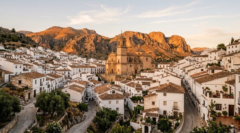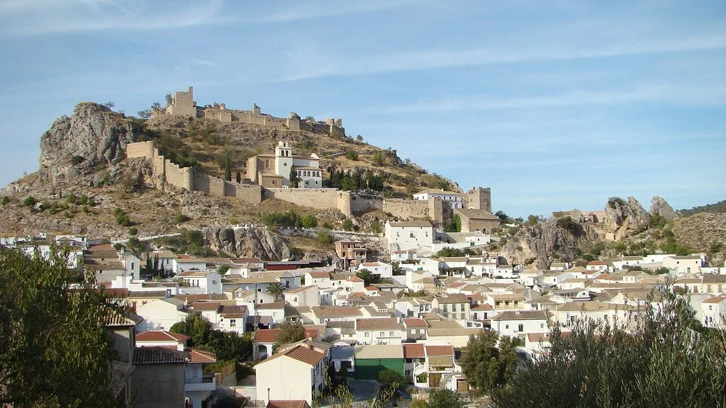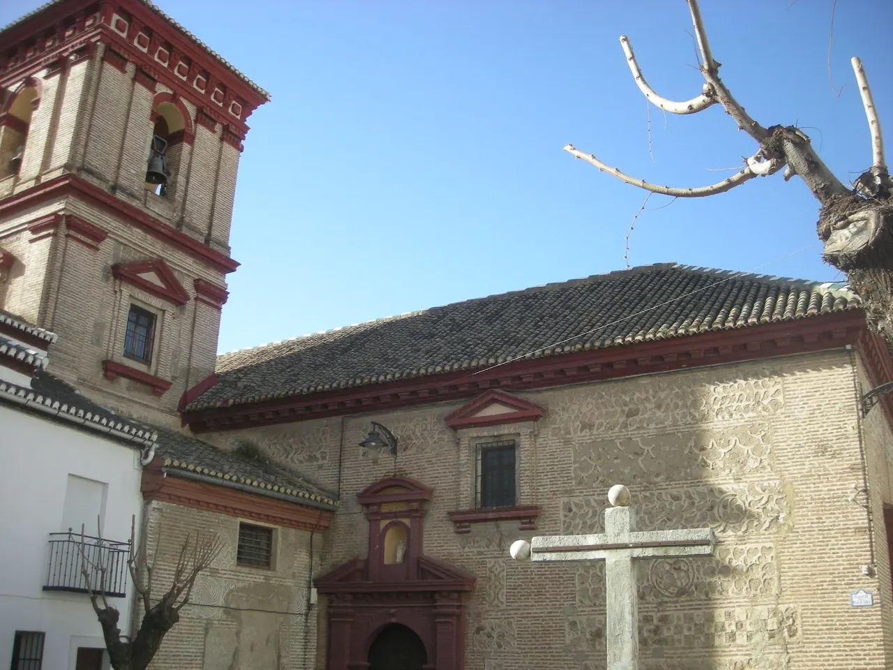
Güéjar Sierra allows you to combine a walk through the town with routes through the Genil valley. The Rosario church is a reference of the nucleus; The Greenway of the Tram and the Vereda de la Estrella require choosing and preparing your own routes. For a short visit, start by deciding how far you want to walk and how you’ll return.
Church of Our Lady of the Rosary
The Archdiocese of Granada identifies the parish of Güéjar Sierra as Our Lady of the Rosary. You can take it as a reference for the walk through the urban center.
If you want to enter, ask about the opening and respect the worship hours. You can dedicate a short outing to the surroundings of the church and the center, adapting the walk to the time available and the slopes that the group can cover.
Sierra Nevada Tram Greenway
The Granada Tourist Office describes a route along the old tram route, next to the Genil, to the Barranco de San Juan. It is a reference to know the landscape and history of this connection with Sierra Nevada.
The Güéjar Sierra City Council reported in February 2025 on the renewal of interpretive panels and two tourist brochures linked to the centenary of the tram. Ask about the information available to prepare your tour.
Select the starting point and the section you want to walk. Calculate round trip, access from the town and return transportation. With a stroller or wheelchair, ask about the surface, slopes, narrow steps and access to the specific segment you want to travel.
Vereda de la Estrella: a mountain outing
Granada tourist information places the beginning of the Vereda de la Estrella in the Barranco de San Juan and relates it to the old mine road. It is a different route from the urban walk and requires preparing the trip at the beginning.
The municipal tourist information sheet describes approximately 10 km one way and 700 m of elevation gain to Cueva Secreta. Returning along the same route is about 20 km of walking; do not confuse it with a total distance of 10 km. You can choose a previous return point: calculate the going, return and elevation difference of the section you are actually going to do. Check weather, road conditions and daylight hours. Bring water, appropriate footwear and clothing suitable for the mountains.
The Tourist Office indicates that the bus to the town does not reach the Barranco de San Juan. Prepare that extra stretch before organizing the route; Getting to Güéjar Sierra is not equivalent to being at the beginning of the trail.
Viewpoint of Mount Ahí de Cara
The City Council identifies the Mirador del Monte Ahí de Cara in a call for astronomical experience. To see it yourself, check the access and where you can stop.
To participate in an astronomical activity, consult the current programming and reservation with the Municipal Tourism Office. The organized movement of the linked call corresponded to that specific activity.
How to get there from Granada
The Transport Consortium identifies the line 390P: Granada–Pinos Genil–Güéjar Sierra. Check the stops and departures for the chosen day, as well as return options.
Granada tourist information places the exit towards Güéjar Sierra on Paseo de los Basilios, next to Escolapios. Confirm the stop and current service when preparing your trip. By car, use the exact address of the first destination and check access and parking.
How to Get to Güéjar Sierra from Granada, Public Transport & Where to Stay
Organize the day and ask for local information
Dedicate a brief visit to the core and a section of the Greenway that you have chosen. If you prefer the Vereda de la Estrella, prepare a day focused on that route and its transportation.
The City Hall publishes the telephone number 958 484 500 and its address at Plaza Mayor, 18160 Güéjar Sierra. You can ask for information about access and local resources. For dining or accommodation, please confirm current services with the property.
Sources
- Archdiocese of Granada — Our Lady of the Rosary Parish, Güéjar Sierra: https://archidiocesisgranada.es/organizacion-territorial/
- Granada City Council, Tourism — Vía Verde, Vereda de la Estrella and transfer to the beginning: https://turismo.granada.org/es/guejar-sierra
- Güéjar Sierra City Council — Tram panels and brochures, February 2025: https://www.guejarsierra.es/guejar-sierra-celebra-el-centenario-del-tranvia-de-sierra-nevada-renovando-sus-paneles-y-folletos-turisticos-y-con-un-juego-de-mesa-conmemorativo/
- Güéjar Sierra City Council — Monte Ahí de Cara viewpoint and astronomical call: https://www.guejarsierra.es/agenda/experiencia-astronomica-en-el-monte-ahi-de-cara/
- Granada Transport Consortium — Line 390P and schedule consultation: https://ctagr.es/horarios-2/horarios-reducidos
- Güéjar Sierra City Council — Trails, routes and municipal contact: https://www.guejarsierra.es/el-pueblo/callejero-y-rutas/senderos-y-rutas/
Hiking Trail & Village Day-Trip Calculator (Time & Budget)
Calculate real hiking duration, transport cost from Granada city and local meal budget:
Guided Tours, Free Walking Tours & Tickets in Granada
Book official guided tours, monument tickets, and day trips in Granada with instant confirmation and free cancellation.
Hotels & Stays in Granada
Check live availability, location map, and stays with free cancellation in Granada.