Lugros y El Camarate is a historic municipality located in the Guadix y Sierra Nevada region of the province of Granada, sitting at an altitude of 1.242 m with an approximate population of 310 hab.. Its main heritage and natural attractions include: Dehesa del Camarate (el «Bosque Encantado» de robles, arces y cerezos silvestres más famoso de Sierra Nevada en otoño) y garganta del río Alhama.
| Municipality Fact | Verified Data |
|---|---|
| Region (Comarca) | Guadix y Sierra Nevada (Granada) |
| Altitude & Population | 1.242 m · 310 hab. |
| Road Access | GR-4105 desde Guadix/Polícar (a 68 km de Granada) |
| Main Landmarks | Dehesa del Camarate (el «Bosque Encantado» de robles, arces y cerezos silvestres más famoso de Sierra Nevada en otoño) y garganta del río Alhama |
1. Essential Points of Interest to See in Lugros y El Camarate
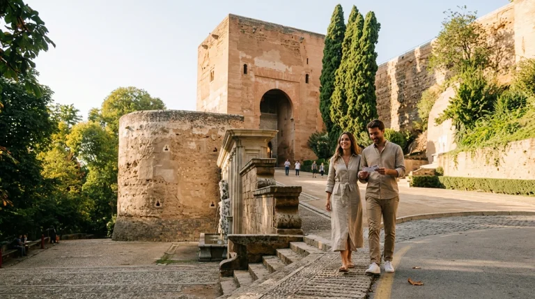
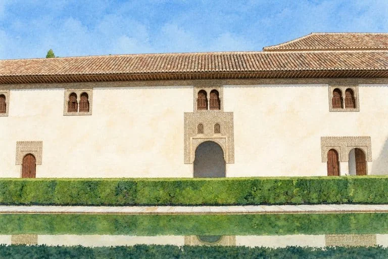
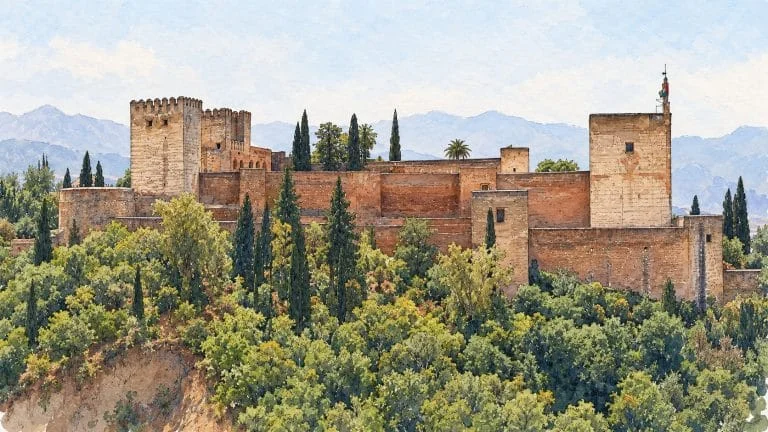
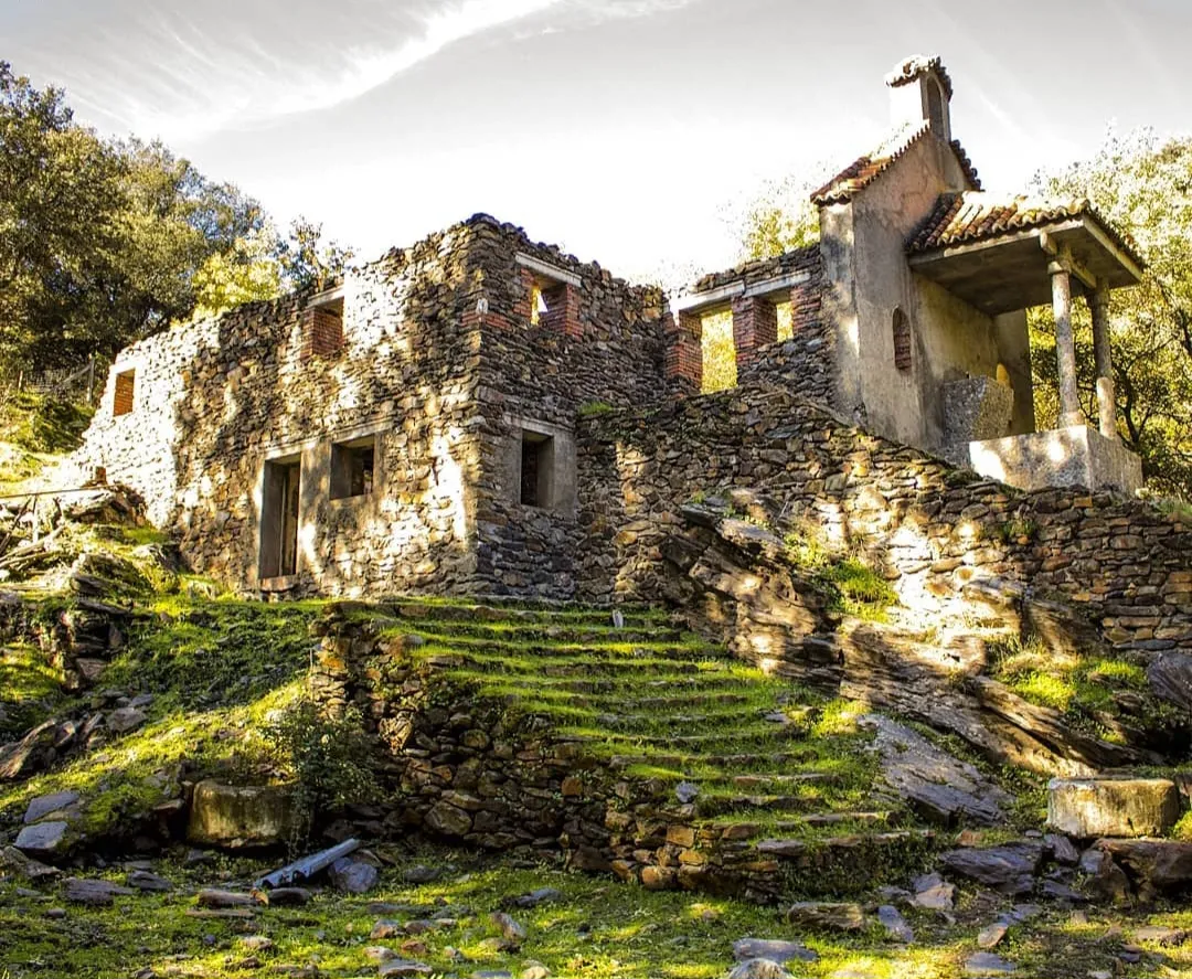
Exploring the old town and natural surroundings of Lugros y El Camarate reveals landmarks such as Dehesa del Camarate (el «Bosque Encantado» de robles, arces y cerezos silvestres más famoso de Sierra Nevada en otoño) y garganta del río Alhama. Use the 2×2 interactive photo gallery above to view all four perspectives of the town in full screen.
2. How to Get to Lugros y El Camarate, Altitude & Practical Tips
- Road Access: GR-4105 desde Guadix/Polícar (a 68 km de Granada).
- Altitude & Population: 1.242 m (310 hab.).
- Main Landmarks: Dehesa del Camarate (el «Bosque Encantado» de robles, arces y cerezos silvestres más famoso de Sierra Nevada en otoño) y garganta del río Alhama.
3. Frequently Asked Questions about Lugros y El Camarate
What are the top things to see in Lugros y El Camarate?
The main points of interest in Lugros y El Camarate include Dehesa del Camarate (el «Bosque Encantado» de robles, arces y cerezos silvestres más famoso de Sierra Nevada en otoño) y garganta del río Alhama, ideal for a half-day or full-day cultural route through Guadix y Sierra Nevada.
How do you get to Lugros y El Camarate by road?
Road access to Lugros y El Camarate is via GR-4105 desde Guadix/Polícar (a 68 km de Granada), connecting directly with Granada city and neighboring towns in Guadix y Sierra Nevada.
Granada Trip Budget, Tickets & Itinerary Calculator (1–4 Days)
Calculate your estimated daily budget per person (monument tickets, local transport & tapas):
Official sources for further information
These links provide information and notices from organisations connected with the destination. References supporting specific claims appear beside the article text.
Civic authority governing city tourism regulations, historic monument conservation, and major urban celebrations.
Municipal tourism office: interactive city maps, verified museum hours, certified information points, and official passes.
Provincial coordination of cultural circuits, Vega de Granada green trails, and top day trips from the capital.
Official regional government portal: Andalusia Tourism Registry (RTA), certified quality marks, and consumer traveler rights.