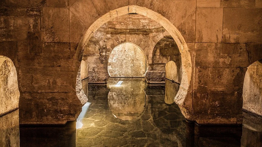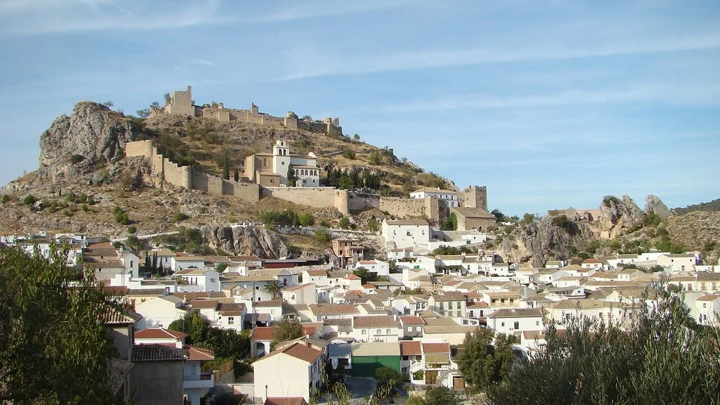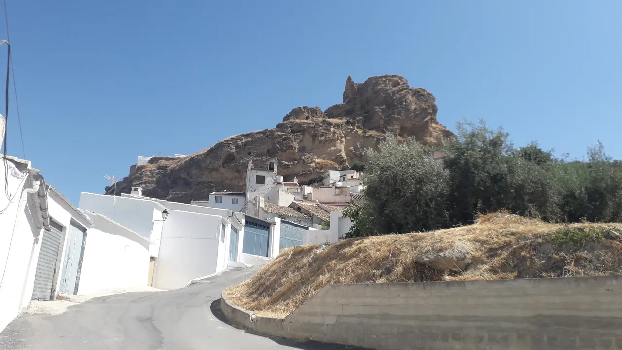
Zagra, in Western Granada, combines the town center at the foot of its castle with viewpoints and paths between olive groves. To prepare your visit, first choose between a walk through the town and a route through the surroundings; Check access to the castle grounds before traveling.
Where is Zagra
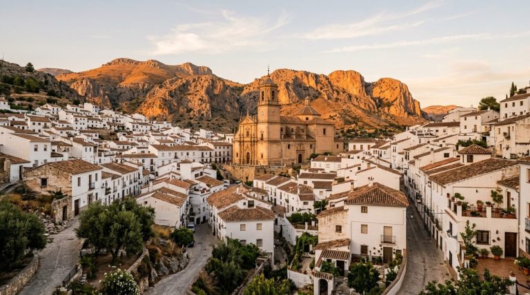
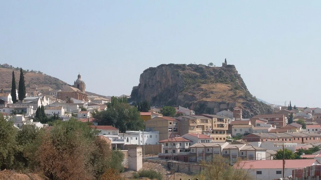
The Zagra City Council places the municipality in the northwestern part of the Loja region, next to Loja and Algarinejo. The town center extends at the foot of the castle rock; Choose the arrival point depending on whether you want to walk around the town or start a route.
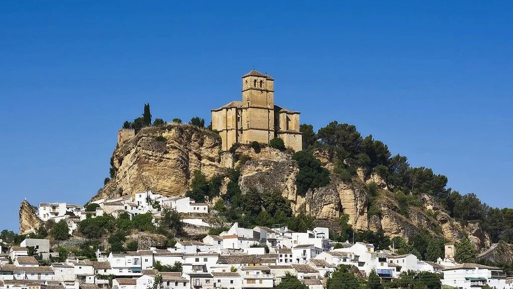
Zagra Castle and the Nasrid Border
The municipal list of places of interest describes a fortification organized in two spaces: a population enclosure on the slope of the hill and the military citadel at the top, separated by a wall.
The Zagra Landscape file of the Andalusian Institute of Historical Heritage documents the frontier role of the town, its changes of domain and the Castilian conquest of 1486. The landscape of olive groves, rocks and ravines helps to understand the position of the fortress.
The Territorio Poniente portal of the Provincial Council of Granada places the castle next to the cemetery, on an elevation to the east of the town, and publishes the reference calle Castillo Alto, 18. To visit the venue, check with the City Council for schedules, rates, open areas and whether you need to arrange access. Only travel through permitted spaces and respect the walls.
Walk through the town and viewpoints
The municipal catalog identifies the Church of San Lorenzo, the Hermitage of Santa Bárbara, Plaza Antonio Ortega and the laundry. You can organize a walk between these points; Ask about the opening of the temple and the hermitage if you want to enter.
For the views, distinguish the Mirador del Castillo, oriented towards the town and its surroundings, from the Mirador de las Peñas, which the City Council relates to the landscape of the Iznájar reservoir. The Cerro de la Cruz is another option, with a picnic area according to the same source. Check access to each point and bring enough light for the return if you leave at dusk.
Three routes to compare
The municipal tourist routes page publishes several hiking circuits and links to their routes. These three allow you to compare distance, approximate time and gradient:
| circular route | Distance | Published time | Up/down gradient | Published difficulty |
|---|---|---|---|---|
| Castle and the Alberos | 3,970 km | 2 hours 30 minutes | 140m / 140m | Low/moderate |
| Cerro de la Cruz Viewpoint | 3,540 km | 1 hour 30 minutes | 170m / 170m | Low |
| Fishing | 10.3 km | 3 hours 30 minutes | 397m / 397m | Low |
A short route may require more time than another of similar length. Choose based on the route, the slopes and the mobility of the group, in addition to the distance. Check the updated route and the status of the roads; If you travel with a wheelchair or stroller, ask about the surface, slopes and obstacles.
Bring sun protection, appropriate footwear, and offline guidance. Adjust the plan to heat or rain and respect farms and closures. Bring your own drinking water and respect the rules for the use of fountains and streams.
Olive groves, fountains and cultural landscape
The IAPH file, pages 5 and 9, relates the castle and the Fishing Tower with the defensive landscape, and includes the laundry and fountains such as Fuente Fría, Fuente de la Plaza and the New and Old Batteries. They are references to understand the relationship of the town with water and the countryside; Check their location and access before converting them into an itinerary.
History of the municipality
Contemporary history has two administrative milestones. Decree 114/1987, of April 29, published in the BOE of August 29, 1987, explains that the Royal Decree of segregation of 1982 was annulled by a ruling of 1986. After a new file, it approved the segregation of Loja and the constitution of Zagra as an independent municipality, with its capital in the center of Zagra.
Eat and organize trips
The municipal gastronomic presentation highlights olive oil, choto stews, sausages, sobrehúsa and porra; among the sweets, rosquetes, roscos de viento, piñonate and borachuelos. Ask about the menu and the opening hours of the chosen establishment: a local specialty does not mean that it is available every day. Check ingredients and allergens if you need them.
The municipal location and access page offers a navigation link. The town, the castle and the start of each trail may require different arrival points; Also check where to park. If you travel by public transport, confirm stops, service and return for your travel date.
How to Get to Zagra from Granada, Public Transport & Where to Stay
Contact to prepare the visit
The City Hall publishes its address at plaza Antonio Ortega, 1, 18311 Zagra, telephone 958 315 078 and email zagra@dipgra.es. You can check access to the castle, opening of resources and conditions of the trails.
Sources
- Zagra Town Hall — situation of the municipality: https://www.zagra.es/ayuntamiento/
- Zagra Town Hall — castle, churches, wash house and viewing points: https://www.zagra.es/municipio/lugares-destacados/
- Diputación de Granada, Territorio Poniente — Zagra castle and access reference: https://www.ponientegranada.es/lugar/lugares-de-interes-turistico/patrimonio-historico/quedate-de-piedra/castillo-de-zagra/
- Zagra Town Hall — distances, times and slopes of the trails: https://www.zagra.es/municipio/rutas-turisticas-e-hitos-de-interes/
- Andalusian Institute of Historical Heritage — Zagra Landscape, pages 5, 8 and 9: https://repositorio.iaph.es/bitstream/11532/324848/8/Ficha_tecnica_paisaje_interes_cultural_de_Zagra_Granada.pdf
- Official State Gazette — Decree 114/1987: constitution of the municipality of Zagra, page 26802: https://www.boe.es/boe/dias/1987/08/29/pdfs/A26801-26802.pdf#page=2
- Zagra Town Hall — local gastronomy: https://www.zagra.es/municipio/gastronomia/
- Zagra Town Hall — location and access routes: https://www.zagra.es/municipio/localizacion-y-vias-de-acceso/
- Zagra Town Hall — address, telephone number and contact email: https://www.zagra.es/contacto/
Hiking Trail & Village Day-Trip Calculator (Time & Budget)
Calculate real hiking duration, transport cost from Granada city and local meal budget:
Guided Tours, Free Walking Tours & Tickets in Granada
Book official guided tours, monument tickets, and day trips in Granada with instant confirmation and free cancellation.
Hotels & Stays in Granada
Check live availability, location map, and stays with free cancellation in Granada.