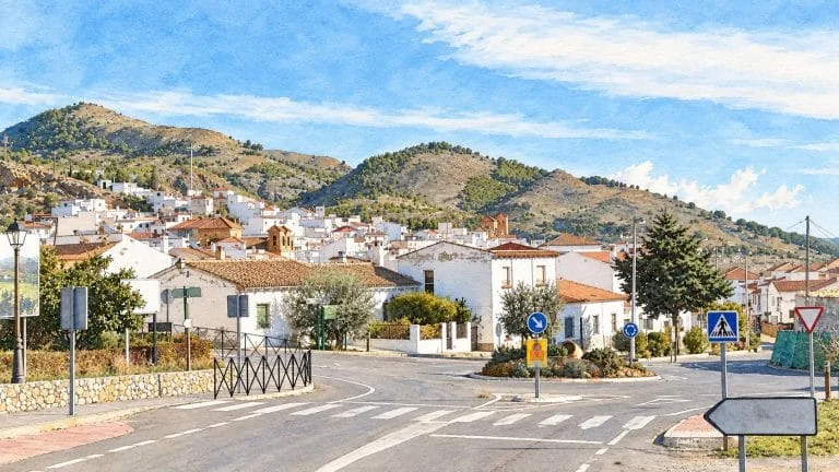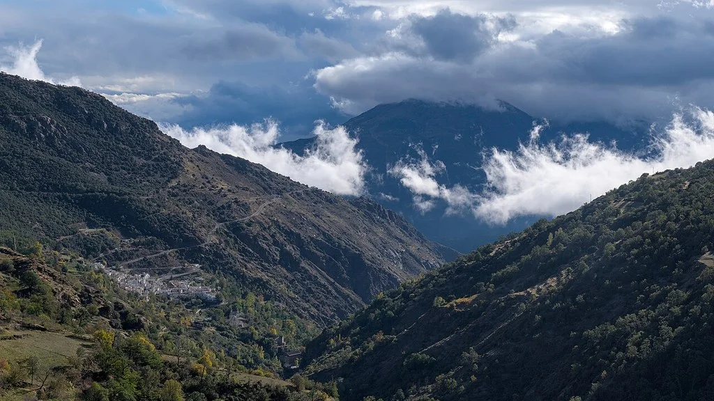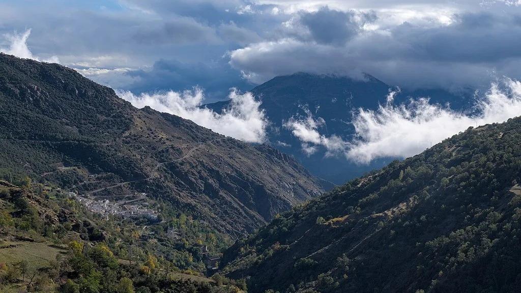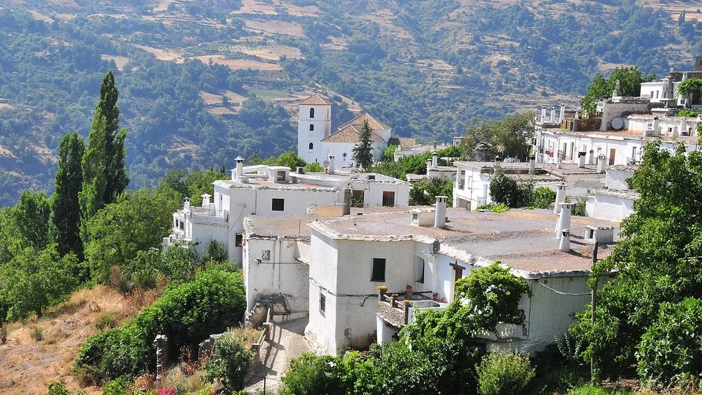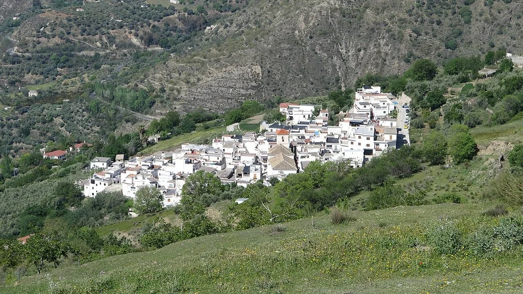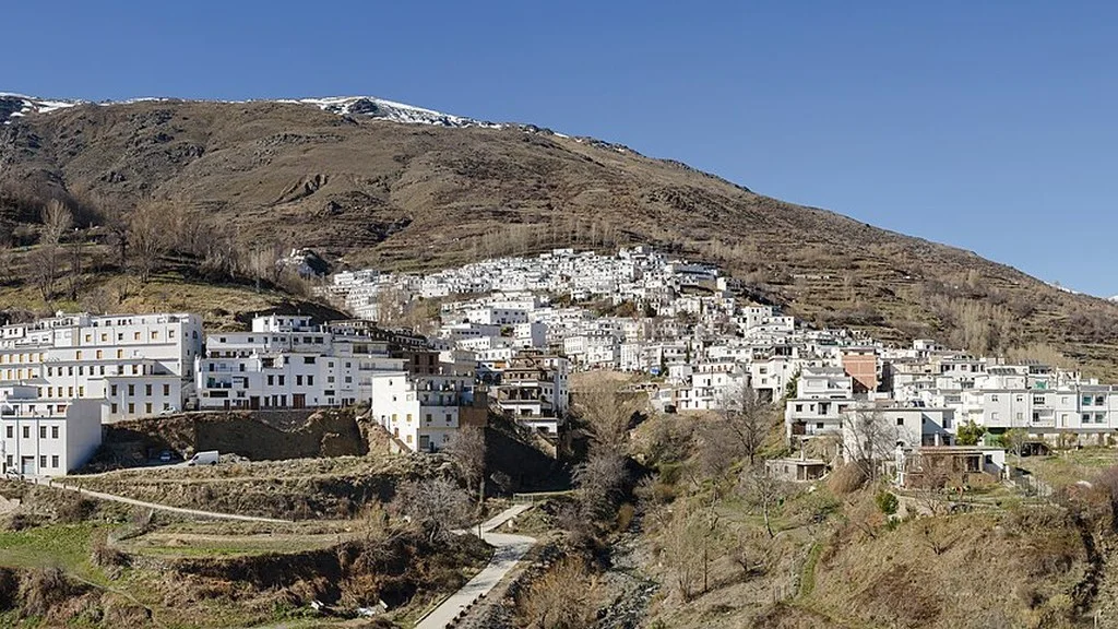
Murtas allows you to learn about the Contraviesa heritage and prepare walks through its centers of Murtas, Cojáyar and Mecina Tedel. You can choose a visit to the town or add hiking, counting the trips and the return separately. The opening of temples and other interiors must be confirmed before traveling.
Three cores, different proposals
The Mancomunidad de la Alpujarra Granadina identifies the three nuclei of the municipality. Not all its resources are part of a single urban walk.
| Place | Proposal | What to prepare |
|---|---|---|
| Murtas. | Church, laundry and urban walk. | Openings and routes according to mobility. |
| Cojáyar. | Walk through the center and its church. | Access, interior opening and return. |
| Mecina Tedel. | Religious heritage and departure from the road to Cojáyar. | Distinguish urban walk and linear route. |
| The Solana. | Circular route from Murtas. | Map, road junctions and current conditions. |
Churches and water heritage
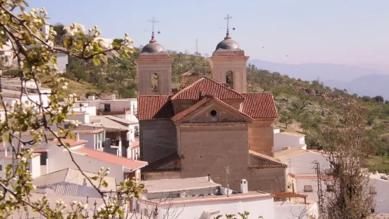
The Archdiocese of Granada identifies the parish of San Miguel de Murtas. The Commonwealth describes its church as neoclassical and points out the space of the Redoubt, delimited by a wall around the temple. Check the interior opening and worship events before you go.
The regional inventory highlights the church of Cojáyar, from the 18th century and of Mudejar tradition, and the armor of the church of Mecina Tedel, from the beginning of that century. The Murtas laundry, dated between the end of the 18th century and the beginning of the 19th century, and fountains such as Los Álamos and La Fuentecilla allow us to learn about the ancient use of water.
This inventory also includes the historic Murtas bridge, the Mecina Tedel threshing floors and the remains of the Juliana castle in Cojáyar. To extend the visit to these rural elements, request their location and the access allowed: they are dispersed and require a specific route.
Locate the elements you want to visit and check their access if you have mobility needs. To drink, bring your own water or only use sources marked as drinking. Respect homes, crops and spaces for neighborhood use.
La Solana: circular route with road crossings
The Mancomunidad publishes La Solana as a circular route of 4.2 km and about two hours. From Murtas you ascend to the Mecina Tedel road, cross it twice and continue along tracks around the Pico del Molino de Viento.
The City Hall describes the return to the square of the Murtas church. Download the map and profile of La Solana (PDF) or the GPS files (ZIP with KML and PLT). Check the layout and condition of the road, and pay attention to road junctions. Reserve a margin over the two approximate hours according to your pace and stops.
Mecina Tedel–Cojáyar: the return is organized separately
The regional file publishes 2.7 km, about 50 minutes and linear type. The path leaves the square of the Mecina Tedel church, goes down Calle de la Fuente and descends steeply through Las Umbrías de Mecina until crossing the Rambla de Cojáyar and reaching the other nucleus.
The 2.7 km and 50 minutes correspond to the one-way route described by the Commonwealth. Download your map and profile (PDF) or the GPS files (ZIP with KML and PLT). Prepare the return on foot, with its additional ascent and time, or arrange a transfer. Check the weather forecast and the crossing of the boardwalk; Avoid crossing it with flow or risk of flooding.
The landscape of Contraviesa
The municipal history places Murtas in the Contraviesa mountain range. The Commonwealth points out the Cerrajón de Murtas, 1,507 meters high, as its highest peak. If you want to go up, ask for the access itinerary and its conditions before planning the walk.
Bring water, footwear and equipment appropriate to the tour. Check the time, gradient, signage and return before leaving, especially if you add a climb to Cerrajón to the visit of the towns.
What to eat and learn about their traditions
The municipal gastronomy page highlights almond and fig sweets: soplillos, curds, almond cheese and fig bread. The Commonwealth adds the rabbit to the colorín, prepared with garlic, dried pepper and olive oil. Ask about these specialties at the chosen establishments.
Check composition, dietary needs, price, opening and reserve directly with the establishment.
The municipal festival information distinguishes Santa Cruz and San Miguel in Murtas, San Antonio in Cojáyar and San Fernando in Mecina Tedel. To attend, consult the year’s program and confirm the dates and activities.
The trovo, based on improvised couplets accompanied by string instruments, is part of the local culture described by the Mancomunidad. Check if there will be a performance during your stay.
A proposal for the visit
You can dedicate the first part of the day to the center of Murtas and its heritage, adapting the interior visits to a confirmed opening. If you add La Solana, organize your time around the complete route and its crossings.
Another option is to visit Mecina Tedel and Cojáyar. If you connect them by walking, prepare your return before starting; If you travel by road, locate the arrival point of each nucleus. Reserve food and accommodation if you need them.
How to Get to Murtas from Granada, Public Transport & Where to Stay
Arrival and municipal contact
Calculates the itinerary to the chosen center and resource, checking road incidents. If you use public transport, confirm the operator, stop and round-trip services for your date. Also locate where to leave the vehicle before exploring the streets of the town.
The Murtas City Council publishes its address at Plaza Iglesia, s/n, 18490 Murtas. You can consult at 958 855 002 or at murtas@dipgra.es. Confirm the opening hours if you are going to attend in person.
Ask about the opening of temples, trail maps and the status of roads, intersections and accesses before traveling.
Sources
- Commonwealth of the Alpujarra Granadina — Murtas: nuclei, heritage and culture: https://www.alpujarraturistica.com/municipios/murtas/
- Archdiocese of Granada — Parish of San Miguel de Murtas: https://archidiocesisgranada.es/parroquias/parroquia-san-miguel-murtas/
- Commonwealth of the Alpujarra Granadina — La Solana Route: https://www.alpujarraturistica.com/listado-rutas/la-solana/
- Murtas Town Hall — Local trails: https://murtas.es/municipio/rutas-turisticas-e-hitos-de-interes/
- Commonwealth of the Alpujarra Granadina — Mecina Tedel–Cojáyar Route: https://www.alpujarraturistica.com/listado-rutas/mecina-tedel-cojayar/
- Murtas City Council — History and Contraviesa: https://murtas.es/municipio/historia-de-la-ciudad/
- Murtas Town Hall — Gastronomy: https://murtas.es/municipio/gastronomia/
- Murtas Town Hall — Festivals and traditions: https://murtas.es/municipio/ferias-fiestas-y-mercados/
- Murtas City Council — Contact: https://murtas.es/contacto/
- Commonwealth of the Alpujarra Granadina — La Solana: map and profile (PDF): https://www.alpujarraturistica.com/wp-content/uploads/2019/09/La-Solana.pdf
- Commonwealth of the Alpujarra Granadina — La Solana: GPS KML/PLT files (ZIP): https://www.alpujarraturistica.com/wp-content/uploads/2019/09/La-Solana.zip
- Commonwealth of the Alpujarra Granadina — Mecina Tedel–Cojáyar: map and profile (PDF): https://www.alpujarraturistica.com/wp-content/uploads/2019/09/Tedel-Cojayar.pdf
- Commonwealth of the Alpujarra Granadina — Mecina Tedel–Cojáyar: GPS KML/PLT files (ZIP): https://www.alpujarraturistica.com/wp-content/uploads/2019/09/Mecina-Tedel-Cojayar.zip
Hiking Trail & Village Day-Trip Calculator (Time & Budget)
Calculate real hiking duration, transport cost from Granada city and local meal budget:
Guided Tours, Free Walking Tours & Tickets in Granada
Book official guided tours, monument tickets, and day trips in Granada with instant confirmation and free cancellation.
Hotels & Stays in Granada
Check live availability, location map, and stays with free cancellation in Granada.