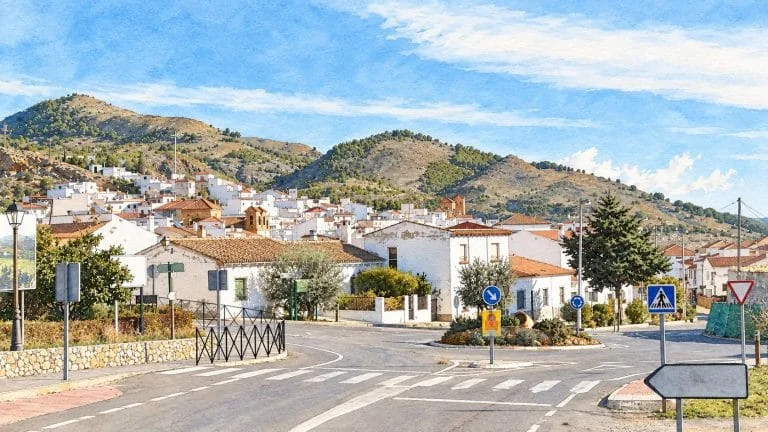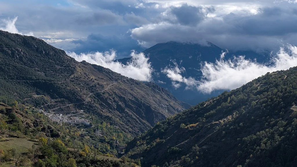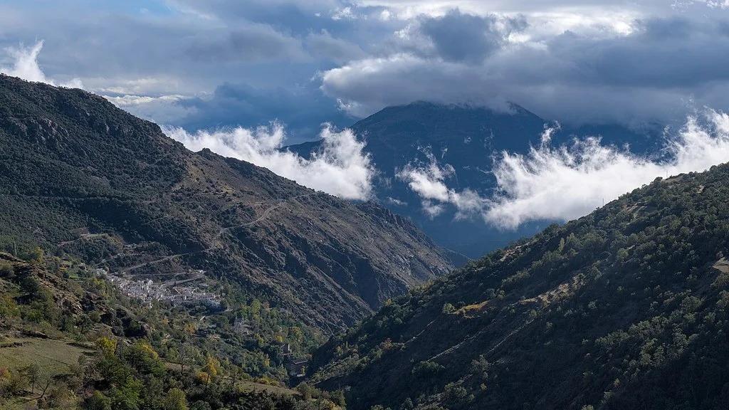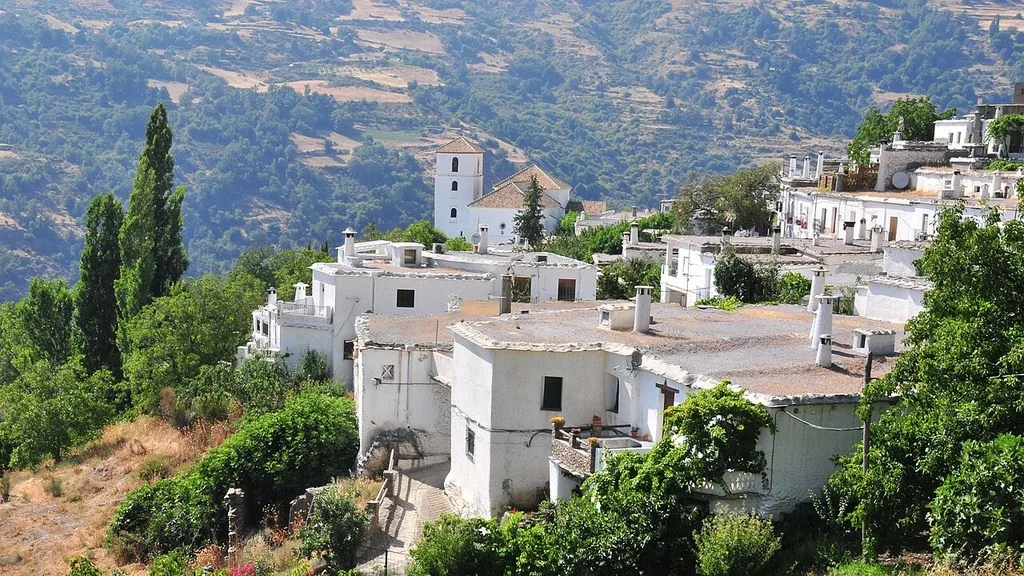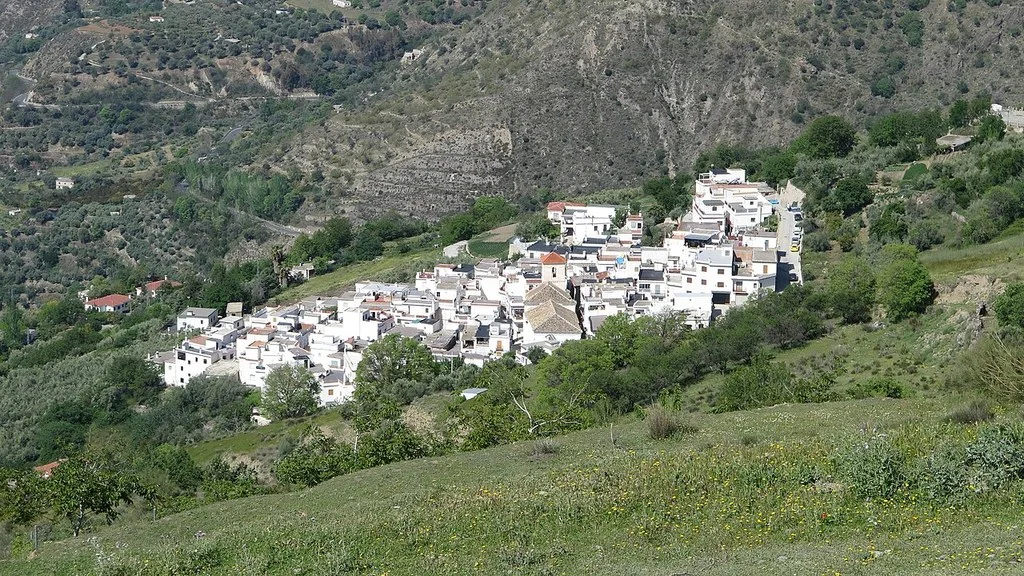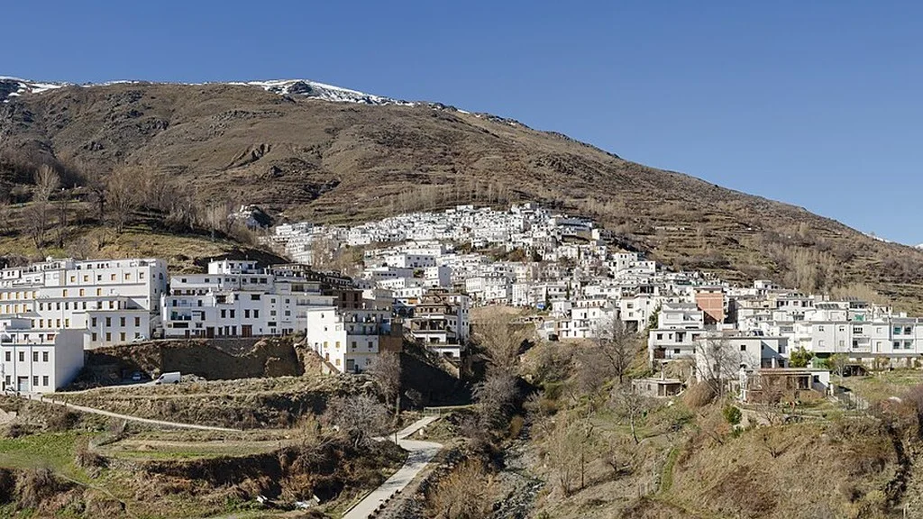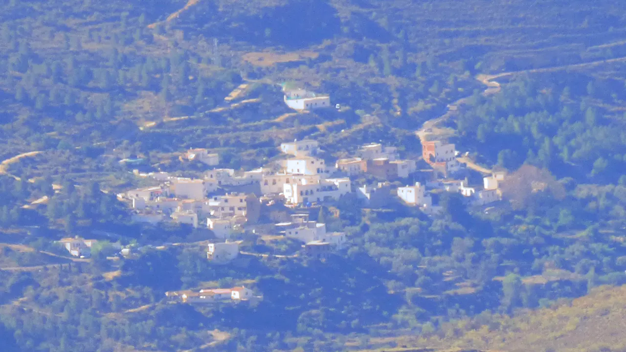
Nevada brings together Laroles, Mairena, Júbar and Picena in the Alpujarra of Granada. This guide helps you choose between walks through its towns, water heritage and hiking. When planning your trip, select the specific area: searching only for “Nevada” can be confused with other geographical references or with the Sierra Nevada ski resort.
What to choose between its four cores
The municipal tourism portal offers separate files for the four towns. You can combine two nearby visits or spend the time on a walking tour, counting transfers and return separately.
| Core | Interest of the visit | Preparation |
|---|---|---|
| Laroles. | Sources and surroundings of the Laroles River. | Location of resources and arrival route. |
| Mairena. | Fuente Alta, eras and landscape from the Peñón de la Alfaguara. | Map of the ride and track status. |
| Jubar. | Mudejar streets and church. | Stairs, mobility and opening of the interior. |
| Picena. | Traditional architecture and El Balsón trail. | Route, road conditions and return. |
Laroles: fountains and a walk through its surroundings
The Laroles file proposes walking to the Mauricio Fountain and places the Laroles River Recreational Area next to the road towards Mairena. Locate the access and take into account the sections shared with vehicles when preparing the walk.
The municipal inventory explains the ancient use of the Mauricio Fountain to supply the town. It also includes the Plaza Fountain, called Fuente de la Virgen. They are elements of the water heritage; Bring drinking water for the ride and check the signs before drinking from their pipes.
Locate the start and end of the walk and road junctions. If you need to walk without steps or have a stroller, ask for an itinerary appropriate to your needs before leaving.
Mairena: Fuente Alta, eras and views
The Mairena file highlights its eras and the views towards Contraviesa, Gádor and Sierra Nevada. It describes a walk through orchards and farms, following a track towards the Peñón de la Alfaguara from around the Laroles–Válor highway.
The municipal landmarks page locates the Fuente Alta on Ancha Street and describes its watering hole pillar. Although official sources mention neighborhood uses of water, bring drinking water and check the signs before drinking from a pipe.
Ask for the map of the walk to the Rock and confirm access, length and return before taking a track. Respect crops and private properties. For a short visit, you can focus on the urban center and its heritage elements, without adding a walk whose duration you have not prepared.
Júbar: Mudejar church and streets with stairs
The municipal portal of Júbar identifies its church as Mudejar from the 17th century. It proposes a walk from the entrance of the town, going up a staircase to a fountain and continuing through narrow streets towards the church.
If you want to visit the interior of the Júbar church, check the opening and the acts of worship. The card locates a parking area at the entrance to the town; Check the signage and available spaces when you arrive.
The stairs described are relevant to choose the route according to mobility. If you need to avoid them, check an alternative before arriving; Stairs may prevent completing that journey with a wheelchair or stroller.
Picena: traditional architecture and Castillejo
The Picena profile highlights its Alpujarran architecture and narrow streets. It also locates remains of the Castillejo on a hill on the right bank of the Picena River, with a track that starts from the road to Cherín.
To approach Castillejo, request the location and permitted access and check the road conditions. Another option is to focus on the streets of the town and leave the river trail for another part of the day.
Two routes for different plans
The table includes the distances, walking times and slopes published by Nevada Tourism. These are indicative figures to prepare the route; adapt the time to your pace, stops and the state of the road.
| Route | Published distance and time | Published elevation (+/−) | What to organize |
|---|---|---|---|
| SL-A-29, El Balsón. | 2 km and 30 minutes walk. | +182 m / −121 m | Confirm complete route, turn and status of the bridge. |
| GR-7, Laroles–Válor. | 13 km and 4 hours and 30 minutes on foot. | +522 m / −660 m | Return from Válor, crossings and time for stops. |
El Balsón from Picena
The SL-A-29 file describes the descent from Picena to the washing place and the continuation along the river, orchards and irrigation ditch. It mentions a suspension bridge, the old La Fabriquilla hydroelectric station and the view of the Balsón natural pond.
Check the complete route of El Balsón and the return you want to make. Check the condition of the bridge and the road, especially after rain. If you consider swimming, ask first about the restrictions and conditions in the area.
GR-7 between Laroles and Válor
The file for the GR-7 section presents it as a connection along old roads between Laroles, Júbar, Mairena, Nechite and Válor. The route described includes a road, so it is advisable to prepare junctions and shared sections.
Laroles and Válor are the beginning and the end of the section described. The 13 km correspond to that connection: agree on the return transfer before starting or prepare the return trip on foot separately, with its additional time and elevation gain. Bring adequate water and equipment and reserve time for breaks and travel.
What to eat and how to organize the day
The municipal gastronomy collects flour or bread crumbs, porridge, broad bean casserole, frigüelos pot and chestnut candy. Ask what specialties the chosen establishments serve and consult the menu before booking.
A first visit can combine two cores and a reserved meal. If you choose the full GR-7, organize your day around the hike and return transfer; do not add the four urban visits as if they did not require time.
Confirm composition of dishes, dietary needs, prices and service with the establishment.
How to Get to Nevada from Granada, Public Transport & Where to Stay
Arrival, time and municipal consultation
Before leaving, check the forecast and warnings from AEMET for Nevada–Laroles. The municipal prediction corresponds to Laroles; Conditions may vary with altitude and at other points in the area. Also check the traffic and incident information from the DGT for the chosen route.
Calculate the arrival at the chosen town and then at the specific resort, checking road incidents and parking spots. If you depend on public transport, confirm with the operator the stop, the service for your date and the last return before booking the trip.
The municipal tourist portal locates the Town Hall at Plaza Constitución, 1, Laroles. Contact: 958 760 007 and ayuntamiento@nevada.es. Ask about openings, trail maps and access suitable for your needs.
Sources
- Nevada City Hall Tourism: Laroles, fountains and recreational area: https://turismonevada.es/laroles/
- Nevada City Hall: Fountains and Water Heritage: https://www.nevada.es/municipio/rutas-turisticas-e-hitos-de-interes/
- Nevada City Council Tourism: Mairena, eras and Peñón de la Alfaguara: https://turismonevada.es/mairena/
- Nevada City Hall Tourism: Júbar, church and stairs: https://turismonevada.es/jubar/
- Nevada City Council Tourism: Picena and Castillejo: https://turismonevada.es/picena/
- Nevada City Council Tourism: SL-A-29 El Balsón trail: https://turismonevada.es/trekking-route/5c846503-8b78-4df6-8a6b-fb677b6e59b0/
- Nevada City Council Tourism: GR-7 Laroles–Válor section: https://turismonevada.es/trekking-route/9c76a88a-aada-41da-9e0d-752c3e4623dc/
- Nevada City Hall: traditional gastronomy: https://www.nevada.es/municipio/gastronomia/
- AEMET: municipal prediction of Nevada–Laroles and warnings: https://www.aemet.es/es/eltiempo/prediccion/municipios/nevada-laroles-id18903
- DGT: traffic information and incidents: https://www.dgt.es/conoce-el-estado-del-trafico/informacion-e-incidencias-de-trafico/
Hiking Trail & Village Day-Trip Calculator (Time & Budget)
Calculate real hiking duration, transport cost from Granada city and local meal budget:
Guided Tours, Free Walking Tours & Tickets in Granada
Book official guided tours, monument tickets, and day trips in Granada with instant confirmation and free cancellation.
Hotels & Stays in Granada
Check live availability, location map, and stays with free cancellation in Granada.